
Showing 73–96 of 139 places
 Moore Creek Boat Access Day Use
Moore Creek Boat Access is a day-use river stop off OR Hwy 224 east of Estacada, with whitewater access and fishing on…
 Mt. Defiance South Trailhead
 is a roadside pullout on Dead Point Road with three trails into the Mark O. Hatfield Wilderness.
 Mt. Hood Meadows Ski Area
Mt. Hood Meadows is a full-service ski resort off Highway 35 with two base lodges, ski schools, and summer chairlift rides and…
 Mt. Hood Skibowl Ski Area
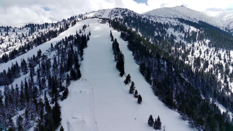
Mt. Hood Skibowl, dating to 1928, has winter skiing, night skiing and tubing plus summer alpine slides, just off US 26 at…
 Multorpor Sno-Park (Skibowl East)
The sno-park for Mt. Hood Skibowl East in Government Camp, with access to skiing, snowboarding and a commercial tubing hill.
 Oak Ridge Trailhead
, off Highway 35 south of Hood River, is a large trailhead for Oak Ridge Trail #688A with a loop…
 Olallie Lake Day Use Area
Jun – Sep
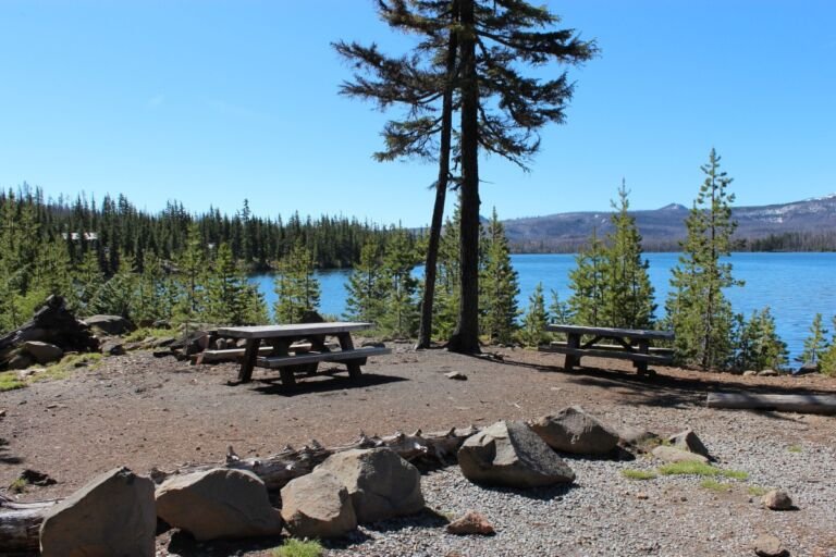
A lakeside picnic and fishing area next to Olallie Lake Resort, with views across Olallie Lake to Mt. Jefferson.
 Olallie Lake Guard Station
Jun – Sep
A historic rental cabin near Olallie Lake at almost 5,000 feet, with a massive stone chimney, wood interior, and hand-wrought ironwork.
 Olallie Lake Resort
Jun – Sep
Olallie Lake Resort offers cabins, yurts and camping on a remote lake in the Olallie Lake Scenic Area, with fishing, boating and…
 Olallie Meadows Cabin
A historic 1910 Forest Service cabin beside Olallie Meadow Campground, reached by a long drive on paved and gravel forest roads from…
 Old Growth Trailhead
 near Lost Lake leads to a short, barrier-free trail through old-growth forest in the Hood River Ranger District.
 Old Salmon River Trailhead
Zigzag District trailhead on Salmon River Road for the kid-friendly Old Salmon River Trail, a 1.9-mile path along the Salmon River.
 Old Skyline – Lost Lake Trailhead
Old Skyline-Lost Lake Trailhead, by Lost Lake Campground in the Hood River Ranger District, serves the 2.5-mile Old Skyline Trail.
 Pacific Crest North – Indian Springs Trailhead
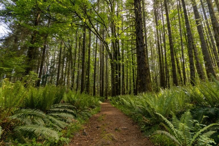
Indian Springs Trailhead (Pacific Crest North), beyond Wahtum Lake Campground, reaches the Pacific Crest Trail and Mark O. Hatfield Wilderness.
 Pacific Crest South – Lolo Pass Trailhead
Pacific Crest South at Lolo Pass is a small roadside trailhead for the Pacific Crest Trail, about 10.5 miles up Lolo Pass…
Paradise Park Trailhead
A Zigzag Ranger District trailhead where Paradise Park Trail #778 heads into the Mount Hood Wilderness from its west side.
 Pegleg Falls Day Use
A day-use picnic area at Pegleg Falls on the Clackamas River Ranger District, reached by way of Forest Road 70.
 Pine Point Boat Ramp & Day Use (Timothy Lake)
3,227 ft
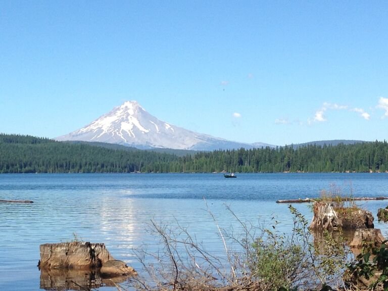
Pine Point Boat Ramp & Day Use, on the south shore of Timothy Lake, has the lake's main motorized boat ramp, picnic…
 Pinnacle Ridge Trailhead
, past Laurance Lake in the Hood River Ranger District, starts Pinnacle Ridge Trail #630 into the Mount Hood Wilderness.
Pioneer Bridle Trailhead
Pioneer Bridle Trailhead, off US Highway 26 near milepost 44, gives access to the Pioneer Bridle Trail, a major mountain bike route.
 Pioneer Woman’s Grave Trailhead
A small trailhead on the historic Barlow Road near Barlow Pass, and the starting point for the Pioneer Woman's Grave Trail.
 Plaza Lake Trailhead
A short trail from Plaza Lake Trailhead reaches Plaza Lake in the southern Salmon-Huckleberry Wilderness, with views of Mount Hood on the…
Plaza Trailhead
Plaza Trailhead is the way onto Plaza Trail #783, a south-to-north route into the Salmon-Huckleberry Wilderness with several viewpoints.
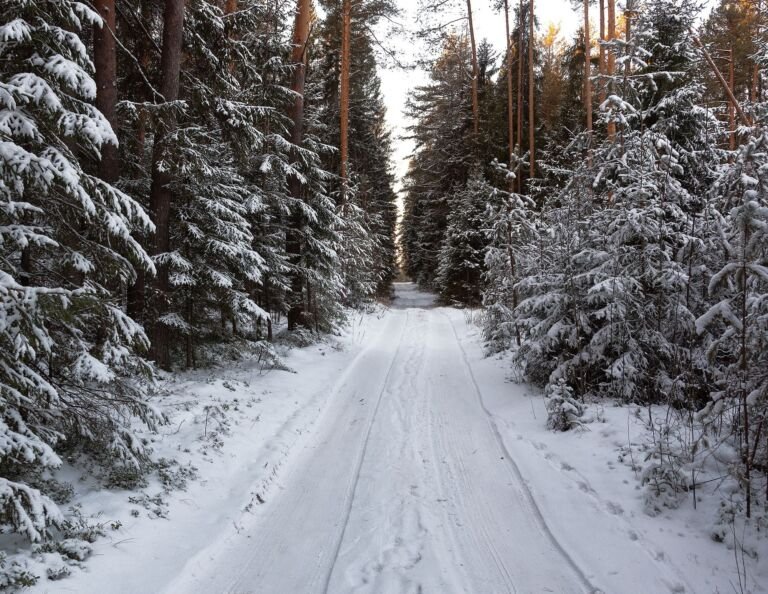 Pocket Creek Sno-Park
A sno-park on Highway 35 south of Hood River with ungroomed beginner and intermediate loops that connect to the Teacup Nordic trails.