
Showing 97–120 of 139 places
 Polallie Trailhead
A Highway 35 pullout near Cooper Spur Road with access to the East Fork and Elk Meadows trails and a quieter route…
 Post Point OHV Staging
, off Forest Road 48 on Boulder Ridge Road, is a secondary access point to the Rock Creek OHV…
 Rainbow Day Use & Trailhead
A small trailhead inside Rainbow Campground east of Estacada and the starting point for the Riverside Trail along the Clackamas River.
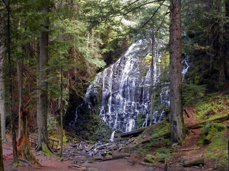 Ramona Falls Trailhead
The trailhead for the Ramona Falls Loop north of Zigzag, with access to the Sandy River, the Pacific Crest Trail, and the…
 Rock Creek OHV
, off Forest Road 48 in the Barlow Ranger District, has about 60 miles of trails and shared roads for…
 Rock Creek Reservoir Day Use
Apr – Oct
A reservoir day-use area off Forest Road 4820 with a boat ramp and picnic area, popular for canoeing and fishing for bass,…
 Sahalie Falls Viewpoint
A roadside viewpoint off Highway 35 near Hood River Meadows where you can see Sahalie Falls from the road, with gravel parking…
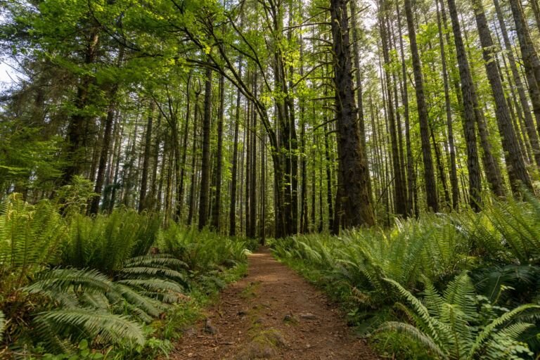 Salmon Butte Trailhead
Zigzag District trailhead about six miles up Salmon River Road from Welches, the starting point for the Salmon Butte Trail.
 Salmon River East Trailhead
 is the less busy way onto Salmon River Trail #742 and into the Salmon-Huckleberry Wilderness, off US Hwy…
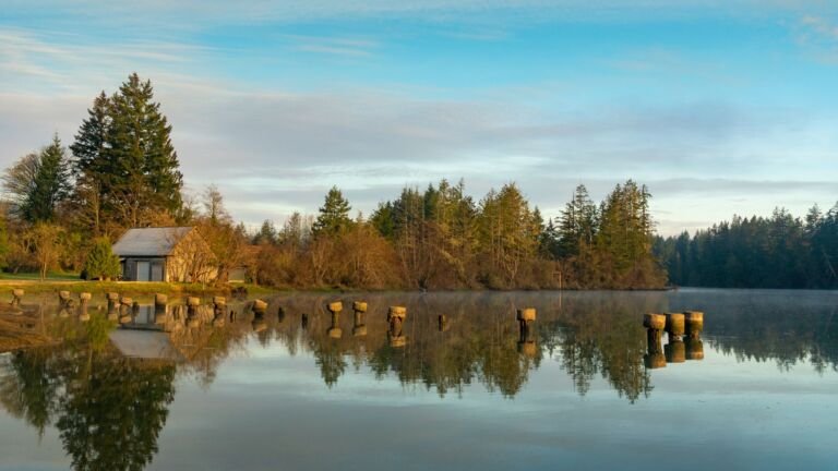 Salmon River West Trailhead
The main trailhead for Salmon River Trail #742, which follows the Salmon River through old-growth forest into the Salmon-Huckleberry Wilderness.
 Sandstone Bridge Boat Access Day Use
Sandstone Bridge Boat Access is a day-use site on the Upper Clackamas River near Indian Henry Campground, used for whitewater trips and…
 School Canyon Trailhead
, next to the Badger Creek Wilderness west of Tygh Valley, serves School Canyon Trail #468 and parks about 15…
 Shellrock Lake Trailhead
, in the Clackamas River Ranger District, leads to a small high-elevation lake with Douglas fir forest along its shore.
 Skiway Sno-Park
A small Government Camp sno-park with room for about 10 cars, used as a starting point for cross-country skiing and other snow…
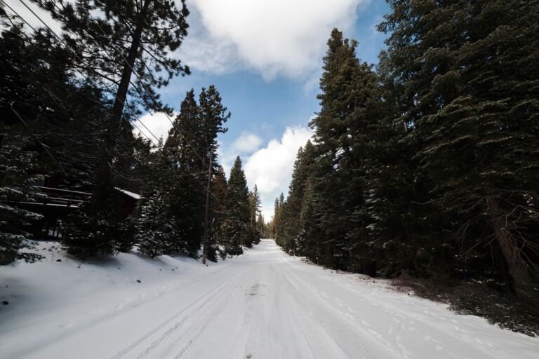 Skyline Sno-Park
A Barlow Ranger District sno-park off Skyline Road with a warming shelter, groomed snowmobile trails near Timothy Lake, and ungroomed ski routes.
 Snow Bunny Sno-Park/Sledding Area
3,850 ft
A family sledding and tubing area off US Highway 26 near Timberline Road, with gentle hills up front and bigger hills farther…
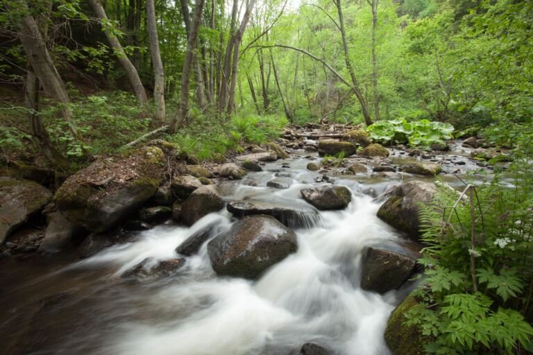 Still Creek Trailhead
 starts at Camp Creek Campground off US Highway 26, on a forest trail that stays mostly under a 10…
 Summit Sno-Park
A Government Camp sno-park off US Highway 26 with vault toilets and room for about 125 cars, used as a base for…
 Surveyor’s Ridge North Trailhead
 near Hood River is the northern access point for Surveyor’s Ridge Trail #688, used by mountain bikers and…
Surveyor’s Ridge South Trailhead
Surveyor’s Ridge South Trailhead off Forest Road 44 reaches Surveyor’s Ridge and Dog River trails, mountain bike favorites with Mt. Hood views.
 Tamanawas Falls Trailhead
One of the busiest trailheads in Mt. Hood National Forest, on Highway 35 south of Hood River and the starting point for…
 Teacup Nordic
4,400 ft
About 15 miles of wide groomed trails for skate and classic skiing through Douglas firs off Highway 35, at about 4,400 feet.
 Tilly Jane A-Frame
The Tilly Jane A-Frame is a historic cabin on Mt. Hood that sleeps 2 to 20, a base for hiking, snowshoeing and…
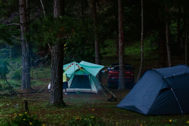 Tilly Jane Guard Station
A 1934 guard station at about 5,700 feet on Mt. Hood's northeast side that serves as a winter cabin for skiers and…