Skip to content
 44 Trails Hub Trailhead
 is a large gravel lot in the Barlow Ranger District serving the 44 Trails System, including Surveyor’s Ridge…
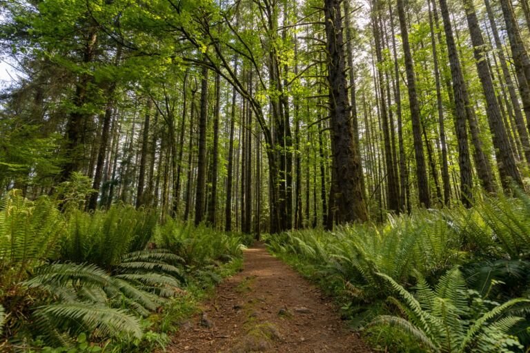 Alder Flat Trailhead
1,300 ft
Alder Flat Trailhead, about 25 miles east of Estacada on Highway 224, starts Alder Flat Trail #574 and has parking for four…
 Badger Creek Trailhead
, near Bonney Crossing Campground in the Barlow Ranger District, leads to Badger Creek Trail #479 and the Badger Creek…
 Barlow Pass Sno-Park & Trailhead
4,150 ft
Trailhead and Sno-Park on Highway 35 near US 26, along the Historic Barlow Road, with Pacific Crest Trail access and backcountry ski…
 Bennett Pass Sno-Park & Trailhead
4,700 ft
A higher-elevation sno-park and trailhead off the Mt. Hood Meadows access road on Highway 35, with vault toilets and room for about…
 Bonney Meadows Trailhead
, in the Barlow Ranger District, leads into the Badger Creek Wilderness and connects to four trails.
 Bottle Prairie Trailhead
, off Forest Road 44 next to the Badger Creek Wilderness, links to the 44 Trails System with parking for…
 Boulder Lake Trailhead
 is a gravel trailhead in the Barlow Ranger District with access to the 44 Trails System and the Badger…
 Boulder Ridge Trailhead-Wildwood
Boulder Ridge Trailhead at Wildwood, off US Highway 26, leads to a trail that climbs into the Salmon-Huckleberry Wilderness with views of…
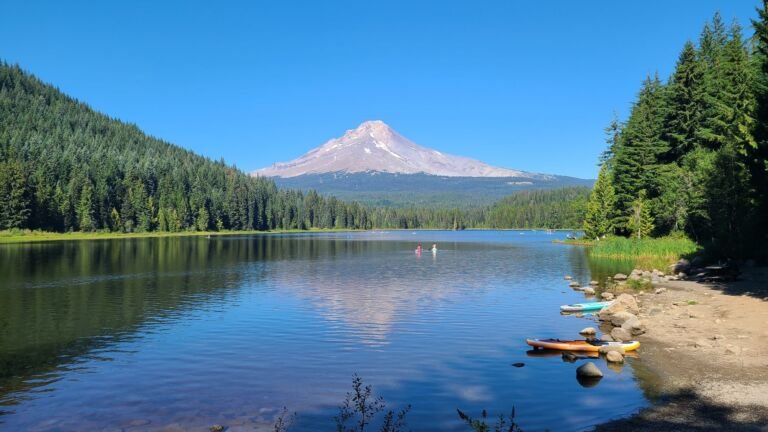 Burnt Lake North Trailhead
Trailhead north of Zigzag for the Burnt Lake Trail into the Mount Hood Wilderness, with a longer route on toward Zigzag Mountain.
 Cast Creek, Horseshoe Ridge, Sandy River Trailhead
, at Riley Horse Camp off Lolo Pass Road, leads to three trails into the Mt.…
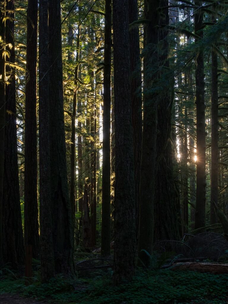 Castle Canyon Trailhead
 near Rhododendron starts a short day hike into the Mount Hood Wilderness to rock towers known as the Pinnacles.
 Catalpa Lake Trailhead
 is a rustic spot on a dirt spur road with parking for two vehicles and a trail into the…
 Clackamas River (Fish Creek) Trailhead
, off Highway 224 at Forest Road 54, is a starting point for Clackamas River Trail #715.
 Clackamas River (Indian Henry) Trailhead
 has a paved lot off Forest Road 4620 and leads onto Clackamas River Trail #715 toward the…
Cloud Cap Trailhead
5,850 ft
A high trailhead reached from Hood River, with access to the Timberline Trail, the Tilly Jane Trail, and the historic Cloud Cap…
 Cool Creek Trailhead
 starts Cool Creek Trail #794, a climb up Hunchback Mountain within the Salmon-Huckleberry Wilderness, with glimpses of Mt. Hood.
 Devils Half Acre Trailhead
, near Barlow Pass, sits among old-growth timber and wet meadows by Barlow Creek and leads into the Mount…
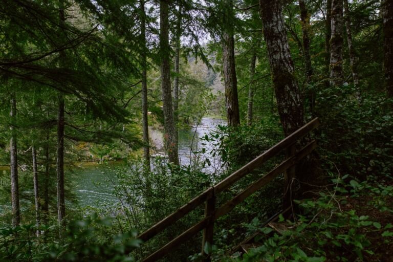 Dog River Trailhead
, off Oregon Highway 35 south of Hood River, is the starting point for Surveyor's Ridge Trail #688 and Dog…
Douglas Trailhead
Douglas Trailhead on Wildcat Mountain starts Douglas Trail #781, a less-traveled route with views over the Salmon-Huckleberry Wilderness.
 Dry Fir/ Veda Lake Trailhead
Dry Fir/Veda Lake Trailhead, on Sherar Burn Road in the Zigzag Ranger District, leads to two lightly used trails with views from…
Eagle Creek Trailhead (Clackamas County)
Eagle Creek Trailhead in Clackamas County is the westernmost way into the Salmon-Huckleberry Wilderness, following Eagle Creek through old-growth forest.
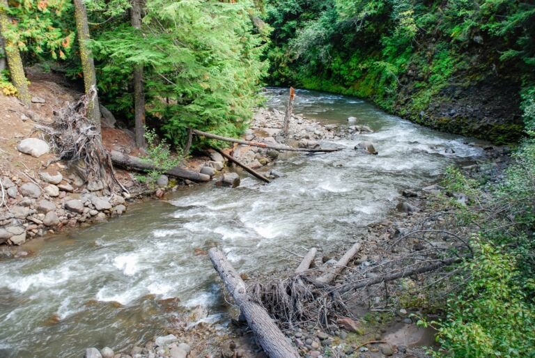 East Fork Trailhead
 is a small trailhead in the Hood River Ranger District with parking for 4 vehicles and access to East…
Eightmile Loop Trailhead
Trailhead for the Eightmile Loop and Eightmile Interpretive trails, inside Eightmile Campground on the Barlow Ranger District near Dufur.
