
Showing 49–72 of 139 places
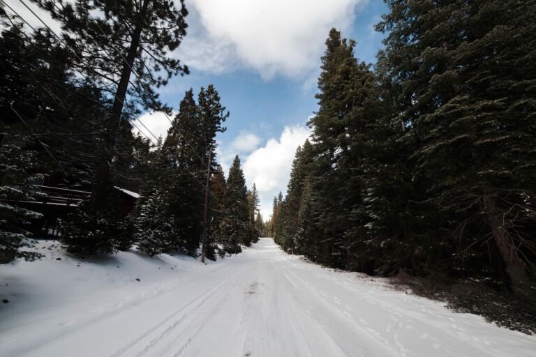 Glacier View Sno-Park & Trailhead
Trailhead and winter Sno-Park on Highway 26 opposite Ski Bowl near Government Camp, with links into the Government Camp trail system.
 Government Camp Highway Maintenance Sno-Park
A simple sno-park at the junction of US Highway 26 and Timberline Road, with parking for about 80 cars and a trailhead…
 Gumjuwac Trailhead
 is a small roadside lot on Oregon Hwy 35 near Robinhood Campground, leading to Gumjuwac Trail #480 and the Badger…
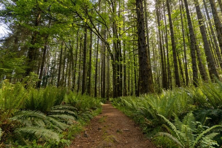 Gunsight Trailhead
, on Bennett Pass Road at Bonney Meadows Road, starts a ridgeline trail through old-growth forest and alpine meadows with Mt.…
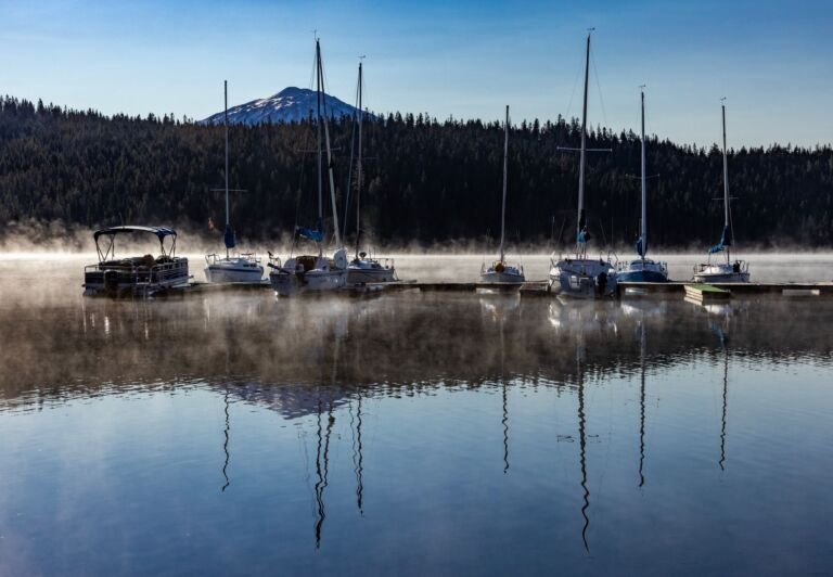 Hidden Lake Trailhead
A trailhead off Kiwanis Camp Road east of Sandy for the Hidden Lake Trail, which climbs to a small wooded lake in…
 High Prairie Trailhead
Barlow District trailhead off Dufur Mill Road, where the High Prairie Trail heads into the Badger Creek Wilderness toward the Divide Trail.
 Hole in the Wall Boat Access Day Use
Hole in the Wall Boat Access is a day-use site at milepost 41 on OR Hwy 224, with whitewater and fishing access…
 Joe Graham/Pacific Crest Trailhead
 links Joe Graham Horse Camp with the Pacific Crest Trail by a 0.1-mile connector off Skyline Road.
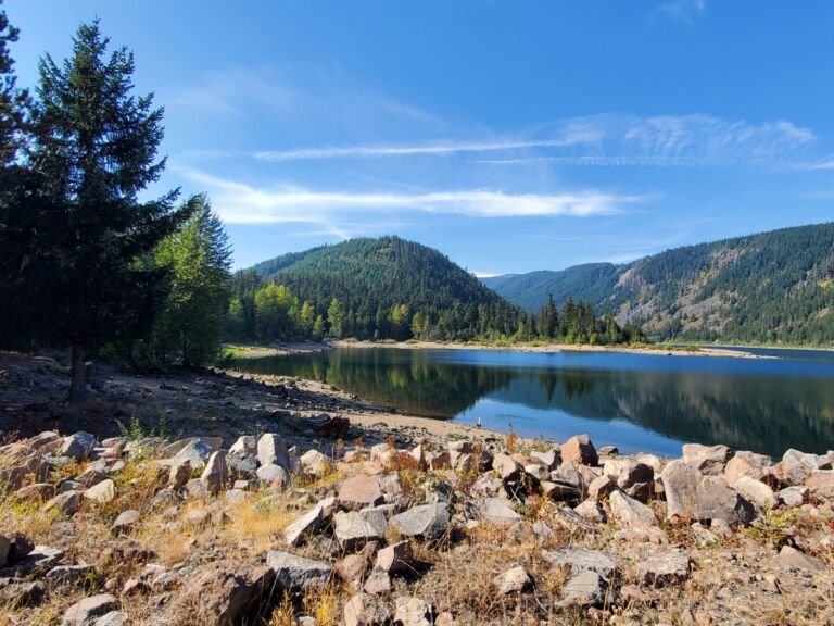 Kinnikinnick (Laurance Lake) Day Use
A lakeside day-use area on Laurance Lake south of Parkdale, with fishing, paddling, lake views, and regular bald eagle sightings.
Knebal Springs Trailhead
A trailhead inside Knebal Springs Campground in the Barlow Ranger District, popular with mountain bikers and horse riders.
 LaDee Flats OHV
Apr – Oct
LaDee Flats OHV, off Highway 224 about 7 miles south of Estacada, has roughly 28 miles of trails plus a climbing area,…
 Lakeshore Trailhead
 at Lost Lake leads to Lakeshore Trail #656 and the Lakeshore Express Trail, with day-use lake access a short walk…
 Laurance Lake High Ridge Trailhead
 is a small parking area on Forest Road 2840 for the Laurance Lake High Ridge Trail in…
 Little Badger Trailhead
 sits beside the Badger Creek Wilderness in the Barlow Ranger District, with parking for 8 vehicles and Little Badger…
 Little Fan Creek Day Use
 is a quiet spot on the Collawash River off Forest Road 63, with no services, so bring…
 Little John Sno-Park & Campground
A winter snow play area with a warming shelter on Highway 35 in the Hood River Ranger District, plus a small campground…
 Little Zigzag Falls Trailhead
Trailhead for the Little Zigzag Falls Trail at the end of Kiwanis Camp Road, off Highway 26 east of Sandy on the…
 Lost Lake Butte Trailhead
, near Lost Lake Campground off Forest Road 1340, starts Lost Lake Butte Trail #616 and links to the…
Lower Hunchback Trailhead
Lower Hunchback Trailhead, at the Zigzag Ranger Station on US 26, starts Hunchback Trail #793 into the Salmon-Huckleberry Wilderness.
 Mazama Trailhead
, reached by Lolo Pass Road and Roads 1810 and 1811, is the start of the Mazama Trail into the Mount…
 McCubbins Gulch OHV
3,300 ft
Off-highway riding area southeast of Portland with about 72 miles of single track for dirt bikes, much of it open to quads,…
McCubbins Gulch Picnic Site
McCubbins Gulch Picnic Site is a small day-use stop with picnic tables inside the McCubbins Gulch OHV Area, off Highway 216 west…
 McGee Creek Trailhead
, off Forest Road 18 in the Hood River Ranger District, starts McGee Creek Trail #627 into the Mount Hood…
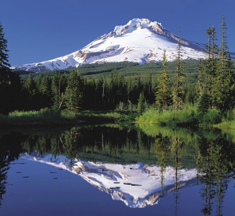 Mirror Lake Sno-Park & Trailhead
3,600 ft
A trailhead and Sno-Park beside Skibowl West on US Highway 26 near Government Camp, the start of the Mirror Lake Trail, at…