
Showing 1–24 of 245 trails
 Alder Flat Trail #574
1.6 mi
200 ft
Easy
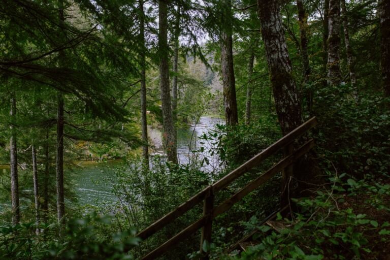
A trail off Highway 224 near Ripplebrook that drops about 200 feet through fir, cedar and hemlock to the Clackamas River.
 Alpine Trail
A steep 2.1-mile trail between Government Camp and Timberline Lodge, a downhill ski route in winter with plenty of huckleberries in summer.
 Anthill Trail #406B
3.8 mi
840 ft
Moderate
A ridge trail from Wahtum Lake into the Mark O. Hatfield Wilderness, known for its anthills and views of Wahtum Lake and…
 Anvil Lake Trail #724
3 mi
265 ft
Easy
Anvil Lake Trail crosses Black Wolf Meadows, with wildflowers and huckleberries, on the way to Anvil Lake and its good fishing.
 Badger Creek Cutoff Trail #477
6 mi
1,969 ft
Hard
A 3.2-mile trail into the Badger Creek Wilderness from Forest Road 2730-200 to Badger Creek Trail, with views of Mount Hood and…
 Badger Creek Trail #479
24.4 mi
4,625 ft
Very hard
A popular Badger Creek Wilderness trail that follows Badger Creek from Bonney Crossing Campground up to a saddle above Badger Lake.
 Badger Lake Trail #479A
A short trail along part of Badger Lake's shore from Badger Lake Campground, with fishing and access into the Badger Creek Wilderness.
 Bagby Hot Springs Trail #544
23 mi
5,997 ft
Very hard
Old-growth forest along the Hot Springs Fork leads to Bagby Hot Springs, and the full trail runs 12.5 miles through Bull of…
 Barlow Butte Trail #670
10 mi
4,075 ft
Very hard
A Mount Hood Wilderness trail from near Barlow Pass to Barlow Butte, with views of Mount Hood, Mount Jefferson and the Three…
 Barlow Trail #601A
1.4 mi
218 ft
Easy
A rocky, primitive piece of the historic Barlow Road linking Still Creek Campground and Government Camp, with traces of a 1920s mineral…
 Bear Lake Trail #413A
1.4 mi
276 ft
Easy
A short, easy walk in the Mark O. Hatfield Wilderness to subalpine Bear Lake, about 1.2 miles from Dead Point Road via…
 Benson Ruckle Trail 405A
A short, easy spur over the Benson Plateau's north end, connecting the Pacific Crest Trail with Ruckel Creek Trail #405.
 Benson Spur Trail #405C
1 mi
47 ft
Easy
A short, easy connector over the northern end of the Benson Plateau, linking Ruckel Creek Trail #405 with the PCT in the…
 Big Slide Lake Trail #553A
A short, steep spur that drops from Dickey Creek Trail #553 to the campsites at Big Slide Lake, part of the Bull…
Blue Box Trail #483
7.4 mi
1,821 ft
Hard
A popular route to Clear Lake that starts on US 26 near Frog Lake and climbs through old-growth Douglas fir and hemlock.
 Bluegrass Ridge Trail #647
12.2 mi
3,084 ft
Very hard
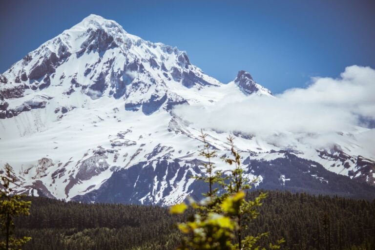
A ridge trail on Mount Hood's east side that weaves in and out of the wilderness, with views of Elk Meadows, Mount…
 Bonanza Trail #786
9.4 mi
3,662 ft
Very hard
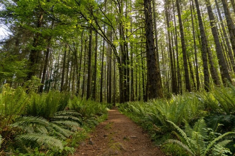
From the town of Welches, Bonanza Trail follows Cheeney Creek, then climbs into the Salmon-Huckleberry Wilderness to meet Plaza Trail #783.
 Bonney Meadows Trail #471
10.8 mi
3,190 ft
Very hard
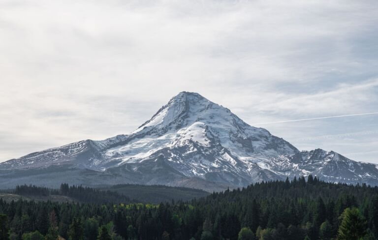
A 5.5-mile, most difficult trail from Bonney Meadows Campground across the White River to a road near Catalpa Lake, through old-growth spruce…
Bottle Prairie Trail #455
9.6 mi
2,073 ft
Very hard
A mountain bike route from Knebal Springs Campground to Bottle Prairie by way of Perry Point, half of a 9-mile loop with…
 Boulder Lake Trail #463
5.4 mi
1,345 ft
Hard
A strenuous trail from Bonney Meadows Trailhead down to Boulder Lake, an alpine lake with primitive campsites, continuing on to Forest Road…
Boulder Lakeshore Trail #463B
1 mi
222 ft
Easy
An easy trail around Boulder Lake, an alpine lake off Boulder Lake Trail #463, with dispersed campsites at the old Boulder Lake…
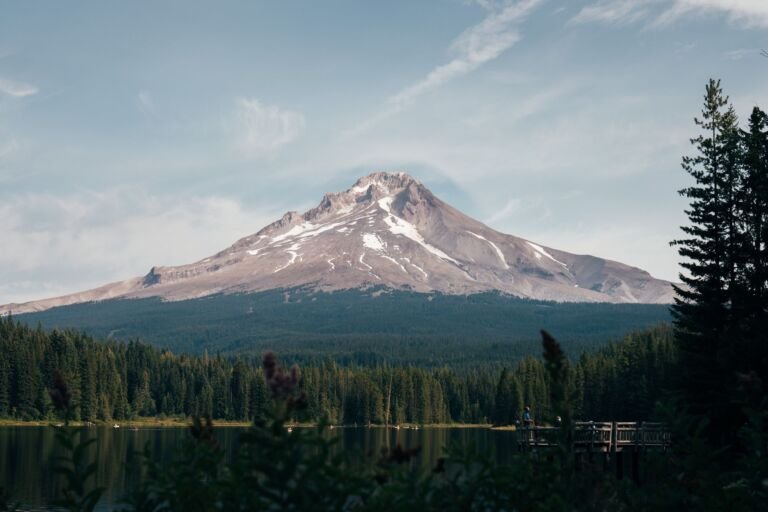 Boulder Ridge Trail #783A
A steady 3.7-mile climb from Wildwood Recreation Site into the Salmon-Huckleberry Wilderness, with ridge-top views over the Salmon River Valley.
 Buck Lake Trail #728
0.8 mi
232 ft
Easy
A kid-friendly hike at a moderate grade up to quiet Buck Lake, an alpine lake with primitive campsites.
 Buck Peak Trail #615
0.8 mi
274 ft
Easy
A short spur off the Pacific Crest Trail northwest of Mount Hood to the summit of Buck Peak, with views of the…