
 Alder Flat Trail #574
1.6 mi
200 ft
Easy
A trail off Highway 224 near Ripplebrook that drops about 200 feet through fir, cedar and hemlock to the Clackamas River.
 Alpine Trail
A steep 2.1-mile trail between Government Camp and Timberline Lodge, a downhill ski route in winter with plenty of huckleberries in summer.
 Anthill Trail #406B
3.8 mi
840 ft
Moderate
A ridge trail from Wahtum Lake into the Mark O. Hatfield Wilderness, known for its anthills and views of Wahtum Lake and…
 Anvil Lake Trail #724
3 mi
265 ft
Easy
Anvil Lake Trail crosses Black Wolf Meadows, with wildflowers and huckleberries, on the way to Anvil Lake and its good fishing.
 Badger Creek Cutoff Trail #477
6 mi
1,969 ft
Hard
A 3.2-mile trail into the Badger Creek Wilderness from Forest Road 2730-200 to Badger Creek Trail, with views of Mount Hood and…
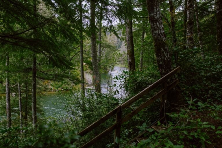 Badger Creek Trail #479
24.4 mi
4,625 ft
Very hard
A popular Badger Creek Wilderness trail that follows Badger Creek from Bonney Crossing Campground up to a saddle above Badger Lake.
 Badger Lake Trail #479A
A short trail along part of Badger Lake's shore from Badger Lake Campground, with fishing and access into the Badger Creek Wilderness.
 Bagby Hot Springs Trail #544
23 mi
5,997 ft
Very hard
Old-growth forest along the Hot Springs Fork leads to Bagby Hot Springs, and the full trail runs 12.5 miles through Bull of…
 Barlow Butte Trail #670
10 mi
4,075 ft
Very hard
A Mount Hood Wilderness trail from near Barlow Pass to Barlow Butte, with views of Mount Hood, Mount Jefferson and the Three…
 Barlow Trail #601A
1.4 mi
218 ft
Easy
A rocky, primitive piece of the historic Barlow Road linking Still Creek Campground and Government Camp, with traces of a 1920s mineral…
 Bear Lake Trail #413A
1.4 mi
276 ft
Easy
A short, easy walk in the Mark O. Hatfield Wilderness to subalpine Bear Lake, about 1.2 miles from Dead Point Road via…
 Benson Ruckle Trail 405A
A short, easy spur over the Benson Plateau's north end, connecting the Pacific Crest Trail with Ruckel Creek Trail #405.
 44 Trails Hub Trailhead
 is a large gravel lot in the Barlow Ranger District serving the 44 Trails System, including Surveyor’s Ridge…
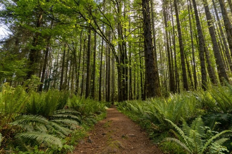 Alder Flat Trailhead
1,300 ft
Alder Flat Trailhead, about 25 miles east of Estacada on Highway 224, starts Alder Flat Trail #574 and has parking for four…
 Badger Creek Trailhead
, near Bonney Crossing Campground in the Barlow Ranger District, leads to Badger Creek Trail #479 and the Badger Creek…
 Barlow Pass Sno-Park & Trailhead
4,150 ft
Trailhead and Sno-Park on Highway 35 near US 26, along the Historic Barlow Road, with Pacific Crest Trail access and backcountry ski…
 Bennett Pass Sno-Park & Trailhead
4,700 ft
A higher-elevation sno-park and trailhead off the Mt. Hood Meadows access road on Highway 35, with vault toilets and room for about…
Bonney Meadows Trailhead
Bonney Meadows Trailhead, in the Barlow Ranger District, leads into the Badger Creek Wilderness and connects to four trails.
Bottle Prairie Trailhead
Bottle Prairie Trailhead, off Forest Road 44 next to the Badger Creek Wilderness, links to the 44 Trails System with parking for…
 Boulder Lake Trailhead
 is a gravel trailhead in the Barlow Ranger District with access to the 44 Trails System and the Badger…
 Little Zigzag Falls Trailhead
Trailhead for the Little Zigzag Falls Trail at the end of Kiwanis Camp Road, off Highway 26 east of Sandy on the…
 Pegleg Falls Day Use
A day-use picnic area at Pegleg Falls on the Clackamas River Ranger District, reached by way of Forest Road 70.
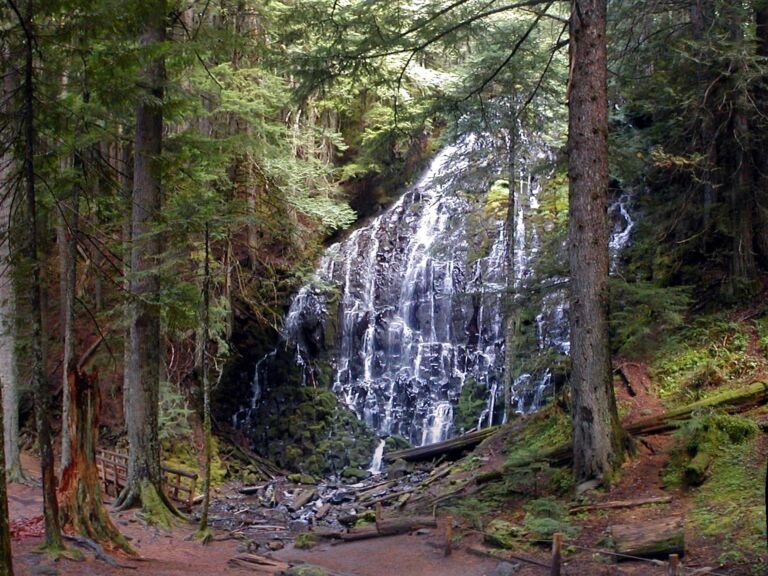 Ramona Falls Trailhead
The trailhead for the Ramona Falls Loop north of Zigzag, with access to the Sandy River, the Pacific Crest Trail, and the…
 Sahalie Falls Viewpoint
A roadside viewpoint off Highway 35 near Hood River Meadows where you can see Sahalie Falls from the road, with gravel parking…
 Tamanawas Falls Trailhead
One of the busiest trailheads in Mt. Hood National Forest, on Highway 35 south of Hood River and the starting point for…
Barlow Pass Sno-Park & Trailhead
4,150 ft
Trailhead and Sno-Park on Highway 35 near US 26, along the Historic Barlow Road, with Pacific Crest Trail access and backcountry ski…
Bennett Pass Sno-Park & Trailhead
4,700 ft
A higher-elevation sno-park and trailhead off the Mt. Hood Meadows access road on Highway 35, with vault toilets and room for about…
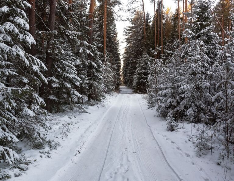 Billy Bob Sno-Park
3,500 ft
A shared-use Sno-Park west of Dufur with groomed snowmobile trails, ungroomed ski routes, and summer staging for mountain biking.
 Boy Scout Camp Sno-Park
A small roadside Sno-Park on Highway 35 in the Hood River Ranger District that mostly serves as parking for the private Boy…
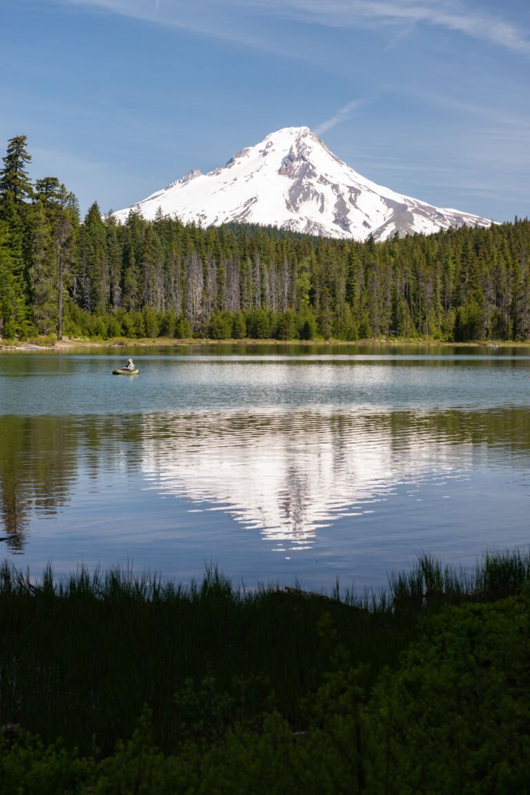 Frog Lake Sno-Park & Trailhead
A trailhead and Sno-Park off Highway 26 with trails to Frog Lake and the Pacific Crest Trail, plus skiing and snowmobiling in…
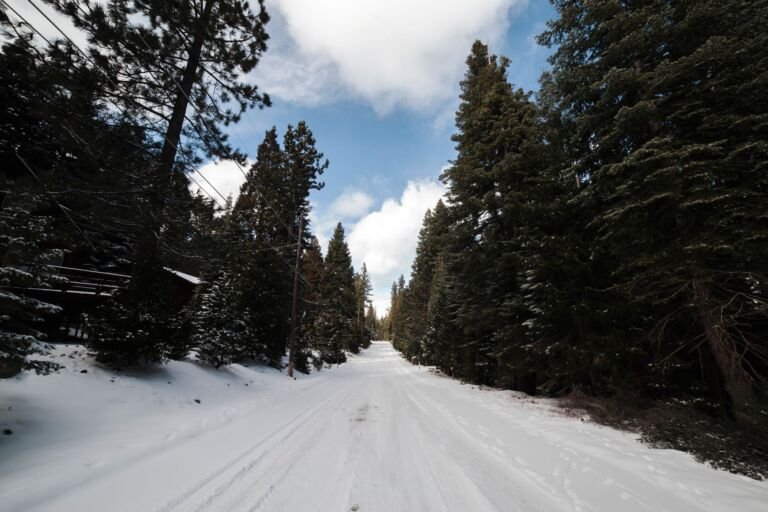 Glacier View Sno-Park & Trailhead
Trailhead and winter Sno-Park on Highway 26 opposite Ski Bowl near Government Camp, with links into the Government Camp trail system.
 Government Camp Highway Maintenance Sno-Park
A simple sno-park at the junction of US Highway 26 and Timberline Road, with parking for about 80 cars and a trailhead…
Little John Sno-Park & Campground
A winter snow play area with a warming shelter on Highway 35 in the Hood River Ranger District, plus a small campground…