
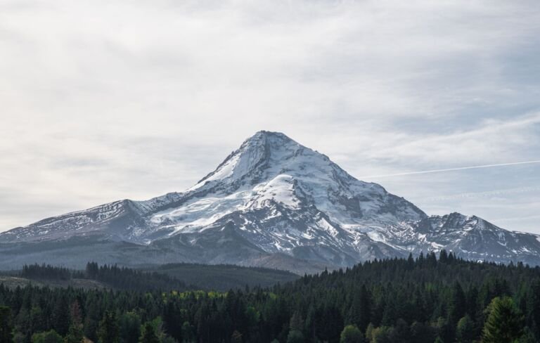
Mt. Hood is a volcano that still vents sulfur-smelling steam near the top. Below the ice, the wilderness drops through rock and talus, where you may hear pikas and marmots, into alpine meadows and then thick Douglas-fir forest with rhododendron, Oregon grape, salal and huckleberry underneath. Over a dozen waterfalls hide in the shaded river valleys.
Most of the area's moisture arrives as snow between October and April, so high trails often hold snow into early summer. Weekend day hikers make up most of the crowd. Go midweek or stay the night and you will share the trail with far fewer people. Just across the highways lie the Salmon-Huckleberry and Badger Creek wilderness areas.

Do
Don't
Many glacial rivers here have no bridge. On the Timberline Trail, the Newton, Coe, Muddy Fork, Sandy and White crossings are the toughest. Flows climb as the day warms, so cross in the morning and turn back if the water looks too high. The Ramona Falls loop also fords the Sandy River with no bridge. More tips are in our trail safety guide.
A 7-mile round trip with about 1,000 feet of climbing that fords the Sandy River. The road to the trailhead is very rough, so a high-clearance vehicle helps.
A half-mile forest trail that people use to reach the Timberline and Pacific Crest trails on the west side. June brings wildflowers, and huckleberries ripen in late August.
Trailheads at the lodge reach the Pacific Crest and Timberline trails. Climbers register for the south side route at the Wy'East Day Lodge.
A north side trail that climbs a ridge through the Dollar Fire burn to open views of the mountain and wildflowers from late June into August.
Climbs from the end of Forest Road 1825-109 to a lake at 4,120 feet with a path around it and campsites nearby. No campfires near the lake.
 Barlow Butte Trail #670
10 mi
4,075 ft
Very hard
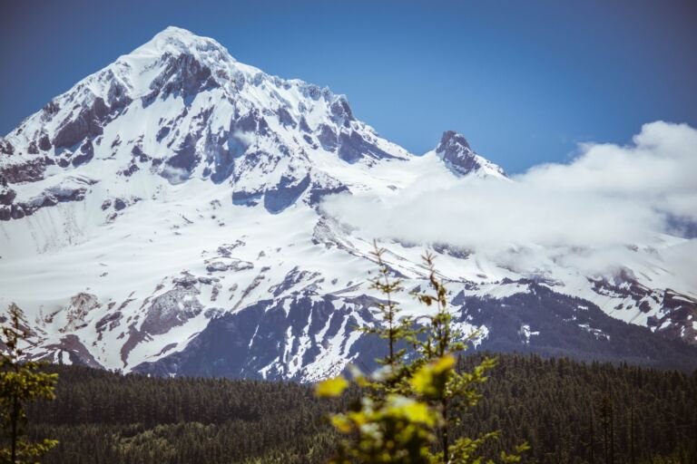
A Mount Hood Wilderness trail from near Barlow Pass to Barlow Butte, with views of Mount Hood, Mount Jefferson and the Three…
 Bluegrass Ridge Trail #647
12.2 mi
3,084 ft
Very hard
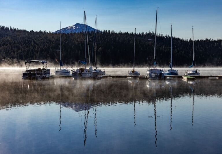
A ridge trail on Mount Hood's east side that weaves in and out of the wilderness, with views of Elk Meadows, Mount…
 Burnt Lake Trail #772
9 mi
1,984 ft
Hard
A steady climb in the Mount Hood Wilderness to Burnt Lake and on to Zigzag Ridge, on Mt. Hood's west side.
 Cast Creek Trail #773
10.4 mi
3,138 ft
Very hard
A steady, steep, switchbacking climb from Riley Horse Camp to Zigzag Mountain Trail #775 in the Mount Hood Wilderness.
 Cast Lake Trail #796
1 mi
218 ft
Easy
A half-mile trail in the Mount Hood Wilderness from Zigzag Mountain Trail to Cast Lake, with lakeside campsites, wildflowers and Mount Hood…
 Castle Canyon Trail #765
1.6 mi
922 ft
Moderate
A short Mount Hood Wilderness day hike near Rhododendron that climbs steeply to the Pinnacles, a group of tower-like rock formations.
 Catalpa Lake Trail #535
1.8 mi
226 ft
Easy
A short, family-friendly hike through mature forest to small Catalpa Lake in the Mount Hood Wilderness.
 Devils Half Acre Trail #482A
1.8 mi
562 ft
Easy
A Mount Hood Wilderness trail on parts of the historic Barlow Road, through old-growth forest and a wildflower meadow.
 Devils Tie Trail #767
0.6 mi
345 ft
Easy
A 0.3-mile connector in the Mount Hood Wilderness linking Burnt Lake and Zigzag Mountain trails, useful for loops and for reaching Cast…
 Eden Park Trail #600H
3.4 mi
1,011 ft
Moderate
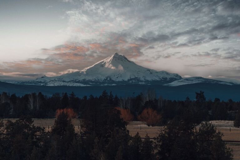
A short Mount Hood Wilderness detour off the Timberline Trail through Eden Park, a wet meadow of wildflowers and huckleberry on the…
 Elk Cove Trail #631
10 mi
2,323 ft
Very hard
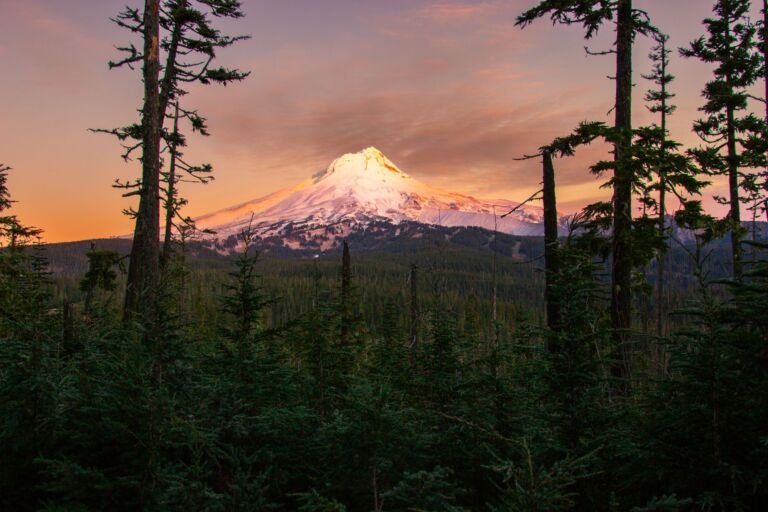
A Mount Hood Wilderness climb from Laurance Lake Road to the Timberline Trail, with meadows, wildflowers and close views of Mt. Hood's…
 Elk Meadows Bluegrass Tie Trail #647B
0.6 mi
413 ft
Easy
A short, steep scramble in the Mount Hood Wilderness linking Elk Meadows Trail to Bluegrass Ridge Trail for a loop on Mount…
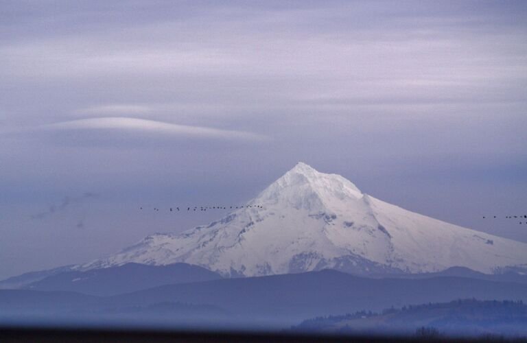 Elk Meadows Trail #645
17.6 mi
3,439 ft
Very hard
A Mount Hood Wilderness trail on the mountain's east side that follows a long ridge from Highway 35 to Elk Meadows, with…
Elk Mountain Vista Trail #647C
0.4 mi
47 ft
Easy
A Mount Hood Wilderness side trail from Bluegrass Ridge to an Elk Mountain viewpoint with an old lookout's remains and views of…
Gnarl Ridge Cut Off Trail #652A
1.2 mi
385 ft
Easy
A short uphill connector in the Mount Hood Wilderness between the Elk Meadows Perimeter Trail and Gnarl Ridge Trail, making a loop…
Gnarl Ridge Trail #652
2 mi
382 ft
Easy
A short, moderate climb in the Mount Hood Wilderness from Elk Meadows Trail to the Timberline Trail on Mount Hood's east side,…
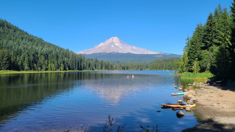 Hidden Lake Trail #779
8.4 mi
2,694 ft
Very hard
A Mount Hood Wilderness climb through rhododendrons to small Hidden Lake at 2 miles and on to the Pacific Crest Trail at…
Lamberson Spur Trail #644
3.2 mi
1,330 ft
Moderate
A Mount Hood Wilderness spur off Elk Meadows Trail that climbs to the east ridge of Lamberson Butte for a wide view…
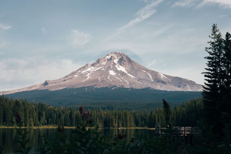 Mazama Trail #625
7.6 mi
2,228 ft
Hard
A Mount Hood Wilderness trail starting on a ridge above Ladd Creek, rebuilt by the Mazamas in the 1990s for their 100th…
McGee Creek Trail #627
3.2 mi
895 ft
Moderate
A quiet, forested 1.5-mile climb in the Mount Hood Wilderness from near Lolo Pass up to the Timberline Trail.
 Newton Creek Trail #646
3.6 mi
1,010 ft
Moderate
A Mount Hood Wilderness trail along Newton Creek between the Elk Meadows and Timberline trails, part of loops of about 5 and…
 Palmeteer Trail #482
4 mi
970 ft
Moderate
A Mount Hood Wilderness trail from the PCT near Barlow Pass to Upper Twin Lake, with a short side trip to Palmateer…
Paradise Park Loop Trail #757
4.8 mi
1,195 ft
Hard
A 4.6-mile loop with the PCT through the wildflower meadows of Paradise Park in the Mount Hood Wilderness, reached from Timberline Lodge…
Paradise Park Trail #778
13.8 mi
3,574 ft
Very hard
A long, steady climb through the Mount Hood Wilderness from Kiwanis Camp Road to the alpine meadows of Paradise Park on Mt.…
Pinnacle Ridge Trail #630
6 mi
2,160 ft
Hard
A steep climb up Pinnacle Ridge on Mount Hood's north side to the Timberline Trail, with alpine meadows and side trips to…
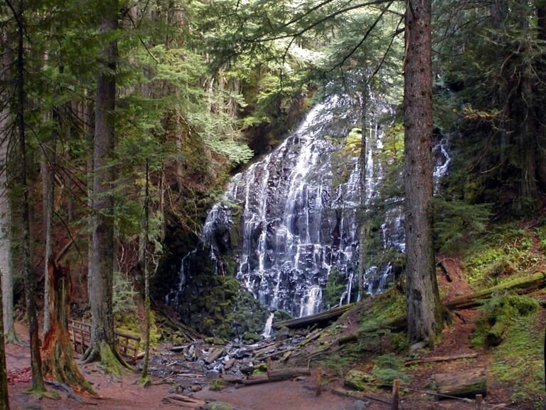 Ramona Falls Trail #797
3.4 mi
589 ft
Moderate
A 7-mile round trip in the Mount Hood Wilderness to Ramona Falls, with a gentle climb and an unbridged crossing of the…
Tilly Jane Trail #600A
3.4 mi
1,077 ft
Moderate
A climb through 2008 wildfire remains on Mt. Hood's northeast side, from Cloud Cap Saddle Campground by Tilly Jane Campground to the…
Timberline Trail #600
58.6 mi
16,475 ft
Very hard
A loop of about 40 miles around Mt. Hood near tree line, built by the CCC in the 1930s, with waterfalls, alpine…
Top Spur Trail #785
1 mi
348 ft
Easy
A half-mile forested trail from the Lolo Pass area into the Mount Hood Wilderness, often used to reach the Timberline and Pacific…
 Twin Lakes Trail #495
6 mi
950 ft
Hard
A Mount Hood Wilderness trail off the Pacific Crest Trail that visits Lower and Upper Twin Lakes, with swimming and a cliff-top…
 Umbrella/Sahalie Falls Trail #667
6.4 mi
1,420 ft
Hard
A trail on Mount Hood's southeast side from Timberline Trail #600 by Umbrella Falls to Mt. Hood Meadows, with a Sahalie Falls…
Vista Ridge Trail #626
5 mi
1,159 ft
Hard
One of the shorter routes to Timberline Trail on Mount Hood's north side, climbing Vista Ridge to the Eden Park Trail junction.
 West Zigzag Trail #789
4.6 mi
1,607 ft
Hard
A short, steep climb from Zigzag Mountain Road to the ridge of Zigzag Mountain in the Mount Hood Wilderness, with an 8.4-mile…
 White River Trail #538
A rough route into the Mount Hood Wilderness from Highway 35, crossing the White River with early views of Mt. Hood and…
 Yocum Ridge Trail #771
7.8 mi
2,129 ft
Hard
A steady climb in the Mount Hood Wilderness from near Ramona Falls to about 6,000 feet on Yocum Ridge and a delicate…
Zigzag Mountain Trail #775
24.4 mi
8,421 ft
Very hard
A long Mount Hood Wilderness ridge route from near Zigzag over Zigzag Mountain toward Paradise Park, with Mt. Hood views and old…
Yes, during the permit season. Wilderness Connect lists a permit requirement for the Mount Hood Wilderness through the main hiking season, and all year on the south side climbing route. The permit is free: fill it out at the trailhead station before you start, and check the trail page for dates. Trailhead parking often needs a separate recreation pass, and climbing above 9,500 feet needs a Mt. Hood Climbing Permit.
Twelve. Groups in the Mount Hood Wilderness may have no more than 12 members, and horses and other recreational stock count toward that total. The Forest applies the same limit of 12 to climbing parties on Mt. Hood.
In the Mount Hood Wilderness, campfires are not allowed in any meadow, within 500 feet of Ramona Falls, in the Elk Cove and Elk Meadows tree islands, at McNeil Point Shelter or within 500 feet of it, at or within half a mile of Burnt Lake, or in the Paradise Park area near the Pacific Crest Trail. When the Forest enters fire restrictions, campfires are usually banned everywhere.
About 38 to 40 miles. The Forest Service gives 38 miles on its wilderness page and about 40 on the Timberline Trail #600 page. Backpackers usually need 3 or 4 days. The trail is not fully maintained, its unbridged glacial river fords are the hardest part, and the Forest lists July through October as its usual season.
Yes, on most trails, with limits. In the Mount Hood Wilderness, stock are banned on Cast Creek Trail #773, on Ramona Falls Trail #797, within 200 feet of Ramona Falls, and on any ground or trail upslope of the Pacific Crest Trail between Timberline Lodge and the north end of Paradise Park Loop Trail #757. Bring processed feed only, keep stock at least 100 feet from lakes, streams, ponds and shelters, and count stock in your group of 12.
Yes, for any travel above 9,500 feet. Buy a Mt. Hood Climbing Permit on Recreation.gov before your climb, and fill out a climber registration form at the Wy'East Day Lodge if you start from Timberline. Every summit route is a technical climb with crevasses, rockfall and avalanche terrain, and Mount Hood Wilderness rules apply on the upper mountain.