
Viewpoints are the reason to hike Palmeteer Trail #482, a Mount Hood Wilderness route that leaves the Pacific Crest Trail and ends at Upper Twin Lake. It winds through small alpine timber to a little meadow, where a 0.4-mile spur climbs to Palmateer Point for a look at Mount Hood and down the Barlow Creek drainage. A second viewpoint comes later on.
The north end is 1.5 miles south of Barlow Pass on the PCT, just off Oregon Hwy 35. Hike out and back for 7.8 miles total, or loop home on Twin Lakes Trail #495 and the PCT. A southern approach starts at Frog Lake on US Hwy 26 and goes by Lower Twin Lakes.
Trail map & elevation
- Trail class
- Class 2 of 5
- Typical grade
- 12-20%
- Surface
- Native material
- Tread width
- 18-24 inches
- Ranger district
- Hood River
Connects to: Twin Lakes Trail #495, Devils Half Acre Trail #482A
More about the Mount Hood Wilderness and its trails →
Line, length and trail class: U.S. Forest Service trail data. Elevation: USGS 3D Elevation Program. Difficulty is our estimate for hiking it out and back (once around for a loop), from distance and total climb. Lines can be off by a few hundred feet; carry a real map and check the official page for closures.
Getting there
- (North access via the Pacific Crest Trail):
From Portland, OR
- travel approximately 31 miles east of Sandy on US Hwy 26 to the intersection with Oregon Hwy 35.
- Turn north onto Oregon Hwy 35 and travel 2.6 miles to Barlow Pass Sno-Park (Forest Road 3531 – approximately 250’ east of milepost 60).
- Take the Pacific Crest Trail #2000 south 1.5 miles to the north end of the trail.
- (South access via the Pacific Crest Trail)
From Portland, OR
- follow US Hwy 26 approximately 35 miles from Sandy to Frog Lake Sno-Park at Wapinitia Pass (approximately 300’ south of milepost 62).
- Take the Pacific Crest Trail #2000 northeast 1.5 miles to Twin Lakes Trail #495.
- Turn right onto trail #495 and travel 1.5 miles past Lower Twin Lakes to the south end of trail #482.
From the Forest Service
Rules and restrictions
Wilderness restrictions apply
Passes and permits
A valid Recreation Pass is required at Barlow Pass trailhead.
Season details
Usually accessible in June
Trails nearby
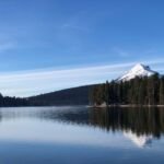 Twin Lakes Trail #495
6 mi
950 ft
Hard
 Devils Half Acre Trail #482A
1.8 mi
562 ft
Easy
 Barlow Butte Trail #670
10 mi
4,075 ft
Very hard
 Pioneer Woman’s Grave Trail #485
2 mi
451 ft
Easy
 Frog Lake Trail #530
2 mi
836 ft
Moderate
 Blue Box Trail #483
7.4 mi
1,821 ft
Hard
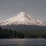 Trillium Lake Loop Trail #761
1.8 mi
11 ft
Easy
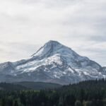 Bonney Meadows Trail #471
10.8 mi
3,190 ft
Very hard
 Catalpa Lake Trail #535
1.8 mi
226 ft
Easy