Grasshopper Fire closure. As of November 2026, Forest order 06-06-01-26-18 closes all Forest land, roads and trails inside a large area east of Highway 35, and its map takes in the whole Badger Creek Wilderness. Trails named in the order include Badger Creek, Badger Creek Cutoff, Gumjuwac, Divide, Fret Creek, Tygh Creek, Little Badger, Post Camp, School Canyon, Bonney Meadows, Jean Lake, Gunsight Butte and Camp Windy.
The Badger Creek, Bonney Meadows, Fret Creek, High Prairie and School Canyon trailheads and the Badger Lake, Bonney Crossing, Bonney Meadows and Little Badger campgrounds are closed too. The order runs through December 31, 2026 unless the Forest changes it. Check fire conditions before you go.
Lookout Mountain, at 6,525 feet, is the high point of the wilderness and the second-highest peak on Mt. Hood National Forest. Its upper ridge is subalpine, with hardy trees and rock, and looks out over the Cascades and the high desert. Farther east the climate turns warm and dry, and the forest shifts to ponderosa pine, Oregon white oak and open grassland.
Badger, Little Badger and Tygh creeks drain the area. Glaciers polished the rock in upper Badger Creek, and mountain hemlock grows along all three streams. Watch for rattlesnakes on the lower Badger Creek Trail. The Mount Hood Wilderness lies just to the west.
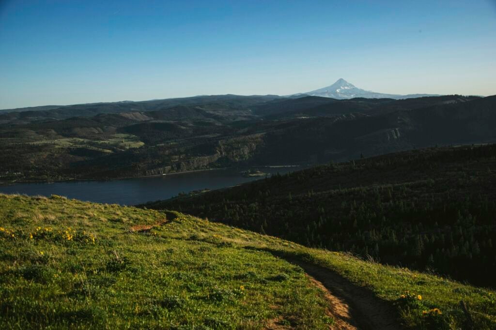
Starts on Highway 35 near Robin Hood Campground and climbs steep switchbacks 2.4 miles to Gumjuwac Saddle, then drops 2.2 miles to Badger Creek Trail #479.
Follows the creek from Bonney Crossing Campground up to a saddle above Badger Lake, past oak thickets, rock formations and subalpine meadows. It is usually best from June through September.
A short, hiker-only loop that reaches the Lookout Mountain summit, with views from the Three Sisters north to Mount Rainier. Wildflowers usually peak in May and June.
Follows the crest from Flag Point Lookout to Lookout Mountain, with a side trip to Oval Lake on Fret Creek Trail #456A.
Do
Don't
 Badger Creek Cutoff Trail #477
6 mi round trip
1,969 ft
Hard
A 3.2-mile trail into the Badger Creek Wilderness from Forest Road 2730-200 to Badger Creek Trail, with views of Mount Hood and…
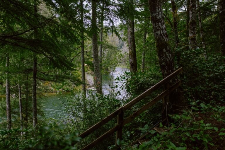 Badger Creek Trail #479
24.4 mi round trip
4,625 ft
Very hard
A popular Badger Creek Wilderness trail that follows Badger Creek from Bonney Crossing Campground up to a saddle above Badger Lake.
 Badger Lake Trail #479A
1.4 mi round trip
41 ft
Easy
A short trail along part of Badger Lake's shore from Badger Lake Campground, with fishing and access into the Badger Creek Wilderness.
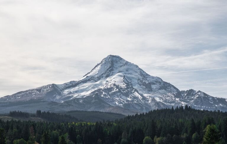 Bonney Meadows Trail #471
10.8 mi round trip
3,190 ft
Very hard
A 5.5-mile, most difficult trail from Bonney Meadows Campground across the White River to a road near Catalpa Lake, through old-growth spruce…
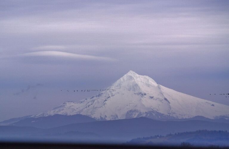 Camp Windy Trail #685B
2 mi round trip
388 ft
Easy
A 1-mile connector on the southwest edge of the Badger Creek Wilderness, climbing gently from Forest Road 4860 to Gunsight Butte Trail…
Divide Trail #458
15.4 mi round trip
4,865 ft
Very hard
A ridge trail in the Badger Creek Wilderness to Lookout Mountain, with views of Mt. Rainier, Mt. Adams and Mt. Hood and…
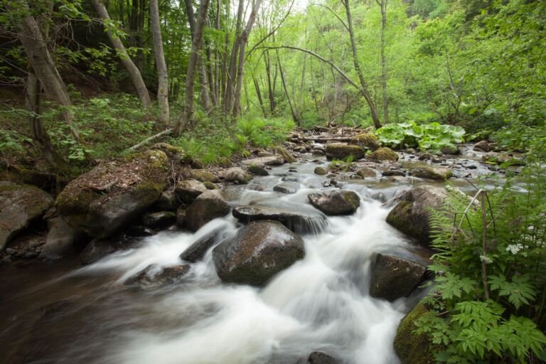 Fret Creek Trail #456A
4 mi round trip
1,010 ft
Moderate
A steep climb along Fret Creek past Oval Lake to Divide Trail #458 in the Badger Creek Wilderness, starting near Fifteenmile Campground.
 Gumjuwac Trail #480
9 mi round trip
3,225 ft
Very hard
A moderate trail from OR Hwy 35 over Gumjuwac Saddle to Badger Creek, through old-growth forest, glades and meadows.
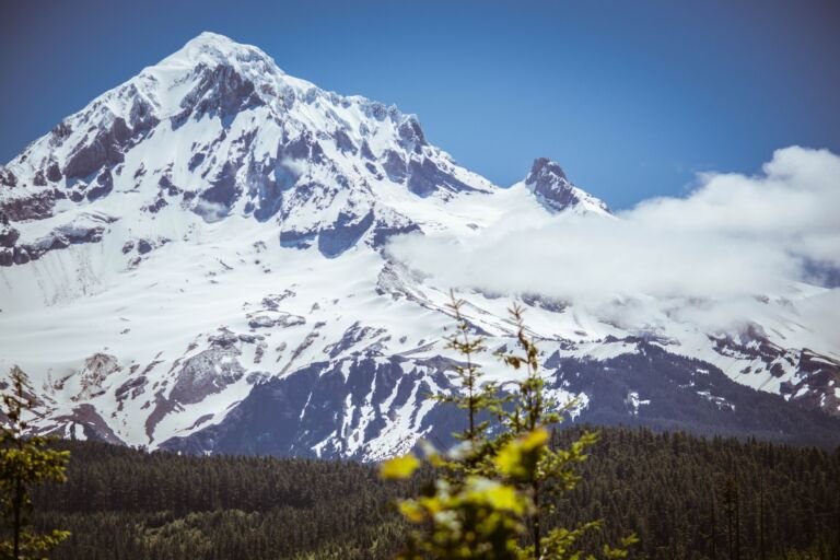 Gunsight Butte Trail #685
10 mi round trip
2,058 ft
Very hard
A ridge trail by the Badger Creek Wilderness from Bennett Pass Road over Gunsight Butte to Gumjuwac Saddle, with Mt. Hood views…
High Prairie Trail #493
4.6 mi round trip
872 ft
Moderate
A Badger Creek Wilderness loop around High Prairie, with a side trip up Lookout Mountain and Cascade views from the Three Sisters…
 Jean Lake Trail #680
0.6 mi round trip
249 ft
Easy
A short, easy 0.3-mile trail to small, shallow Jean Lake in the western Badger Creek Wilderness, with a path around the lake.
Little Badger Trail #469
15.2 mi round trip
4,028 ft
Very hard
A 7.6-mile Badger Creek Wilderness route from near Flag Point down along Little Badger Creek, by the old Kinzel cabin site, to…
Pine Creek Trail #465
3.8 mi round trip
1,341 ft
Hard
A little-used Badger Creek Wilderness connector from Post Camp Trail up through Ponderosa savanna to Badger Lake Road, with one spring for…
 Post Camp Trail #467
5.4 mi round trip
1,492 ft
Hard
A little-used Badger Creek Wilderness connector from Mud Spring Trail to Badger Creek Trail, crossing Pine Creek on a bridge.
 School Canyon Trail #468
7 mi round trip
2,121 ft
Hard
A little-used 3.2-mile climb in the southeast corner of the Badger Creek Wilderness, from Forest Road 27 up to Little Badger Trail…
 Three Mile Trail #466
8.8 mi round trip
1,378 ft
Hard
A level, grassy 4.3-mile trail along the edge of the Badger Creek Wilderness, named for nearby Threemile Creek.
Tygh Creek Trail #460
13.2 mi round trip
3,826 ft
Very hard
A quiet climb through ponderosa pine and oak in the Badger Creek Wilderness, from Tygh Creek on Forest Road 27 up to…
No, as of November 2026. The Grasshopper Fire closure order, updated October 1, 2026, closes all Forest land inside its boundary, and its map takes in the whole Badger Creek Wilderness along with the trailheads and campgrounds around it. It runs through December 31, 2026, unless the Forest lifts or changes it sooner. Check the Forest's alerts page for the current order and map before you go.
Wilderness Connect lists no area-specific group size limit for the Badger Creek Wilderness, unlike the nearby Mount Hood Wilderness, which caps groups at 12 people and stock. Federal wilderness rules still apply here. Ask the Barlow Ranger District before bringing a large group.
At some trailheads, yes. The Forest requires a valid recreation pass at the Badger Creek Trailhead and the High Prairie Trailhead. See our recreation passes guide for which passes work, and confirm the trailhead is open before you drive.
Lookout Mountain, at 6,525 feet, is the highest point in the Badger Creek Wilderness and the second-highest peak on Mt. Hood National Forest. The hiker-only High Prairie Trail #493 loop reaches the summit, which looks over Cascade peaks from the Three Sisters north to Mount Rainier.
The Forest says Badger Creek Trail #479 is usually best from June through September, while wildflowers on High Prairie and the Divide Trail usually bloom in May and June. The east side of the Badger Creek Wilderness is warm and dry in summer, and rattlesnakes live along the lower Badger Creek Trail.
