
Showing 193–216 of 245 trails
 Shining Lake Trail #510
8.8 mi
1,409 ft
Hard
A ridge walk in the Roaring River Wilderness from Frazier Turnaround along Indian Ridge, then down switchbacks to Shining Lake.
 Show Pony Trail #425
2.6 mi
148 ft
Easy
A 1.3-mile link in the Gibson Prairie Trail System connecting Gibson Prairie Horse Camp with Gibson Prairie Trailhead, used by riders and…
 Skiway Trail #755B
1.4 mi
258 ft
Easy
A Government Camp trail along the route of the old 1950s Skiway lift, with views of Mt. Hood and Skibowl and short…
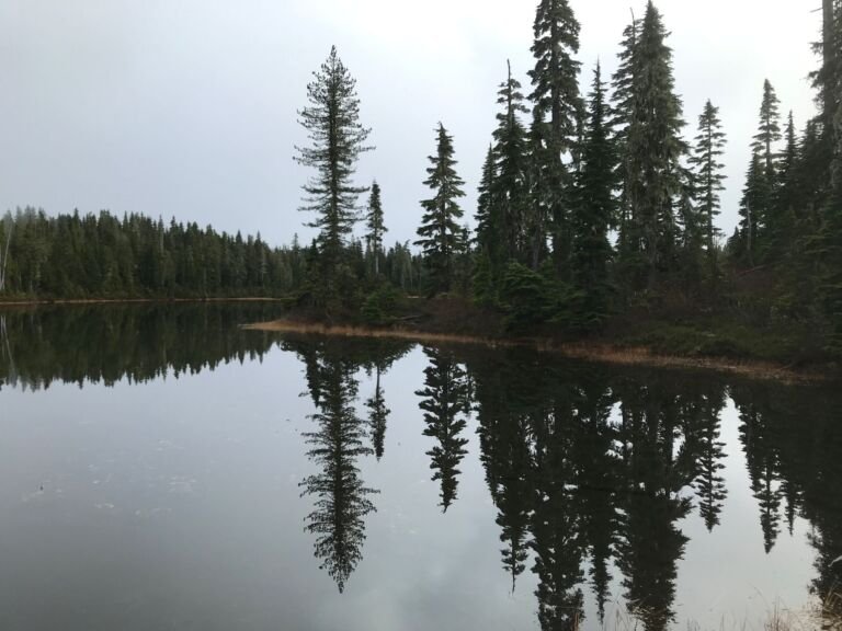 Skookum Lake Trail #542
2.4 mi
1,141 ft
Moderate
A 1.2-mile climb from Skookum Lake to Thunder Mountain Trail #543, with lakeside campsites, fishing, views of Mount Hood and a summit…
 Snowbunny Trail
A winter ski and snowshoe route in the Government Camp trail system, starting at Snow Bunny Sno-Park off US Highway 26.
 Southshore Trail #529
6 mi
176 ft
Easy
A shoreline trail along the south side of Timothy Lake, with lake views the whole way, glimpses of Mt. Hood, and several…
 Still Creek Road Trail
A route from the town of Rhododendron to Still Creek Campground that doubles as a cross-country ski and snowshoe trail in winter.
 Still Creek Trail #780
3.2 mi
693 ft
Moderate
A moderately easy forest trail from Camp Creek Campground off Highway 26, with a short boardwalk through a wet cedar grove midway.
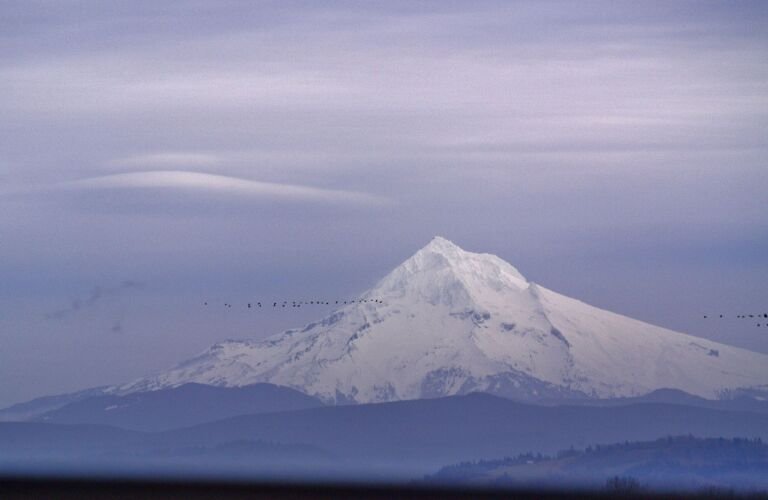 Summit Trail #691
4 mi
430 ft
Moderate
A gentle route through Mt. Hood Skibowl just south of Government Camp, with clear views of Mt. Hood and only about 200…
 Surveyor’s Ridge Trail #688
35 mi
6,218 ft
Very hard
A long ridge trail above the Hood River Valley with views of Mt. Rainier, Mount St. Helens, Mt. Adams and Mt. Hood,…
 Tamanawas Falls Trail #650A
2.2 mi
458 ft
Easy
A shady creekside hike on Mt. Hood's east slope to Tamanawas Falls, about 100 feet high, with an optional 5-mile loop on…
 Tamanawas Tie Trail #650B
0.8 mi
237 ft
Easy
A 0.4-mile connector on Mount Hood's east side linking Tamanawas Falls Trail and Elk Meadows Trail for a loop of about 4…
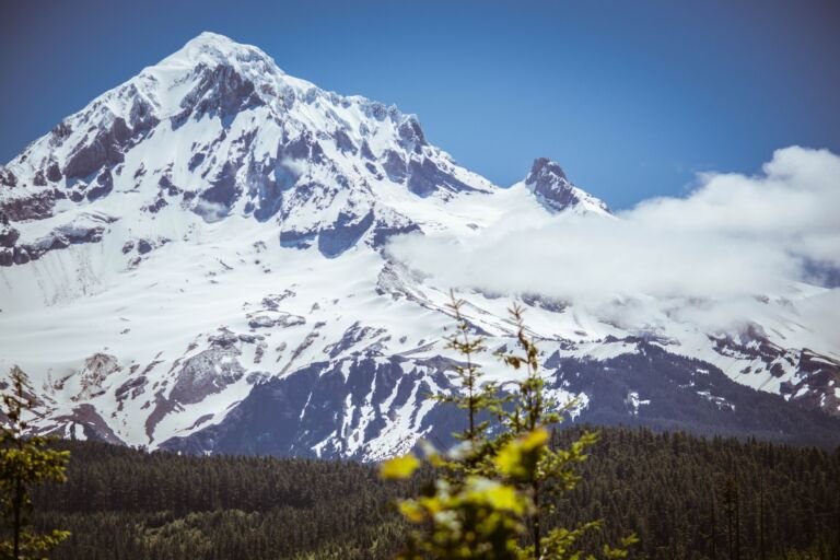 Tanner Butte Trail #401
11 mi
1,949 ft
Very hard
A trail into the Mark O. Hatfield Wilderness, often reached from the Columbia River Gorge via the Wahclella Falls or Eagle Creek…
 Tanner Creek Trail #431
2.6 mi
439 ft
Easy
A half-mile connector in a remote, lightly used corner of the Mark O. Hatfield Wilderness, running up the Tanner Creek valley to…
 Tanner Cutoff Trail #448
4.2 mi
2,510 ft
Hard
A downhill connector in the Mark O. Hatfield Wilderness, from Tanner Butte Trail #401 to Tanner Creek Trail #431, reached from I-84…
 Tanner Springs Trail #401E
0.4 mi
103 ft
Easy
A short side trail off Tanner Butte Trail in the Mark O. Hatfield Wilderness to Tanner Springs, a handy water source for…
 Teacup Lake Trail #677
A short, easy hike from Oregon Highway 35 to Teacup Lake, with blueberries along the trail in late summer.
Thoroughbred Trail #427
4.2 mi
648 ft
Moderate
A 2.1-mile piece of the Gibson Prairie Trail System, starting across from Gibson Prairie Horse Camp and looping with Buckskin Trail.
Three Mile Trail #466
A level, grassy 4.3-mile trail along the edge of the Badger Creek Wilderness, named for nearby Threemile Creek.
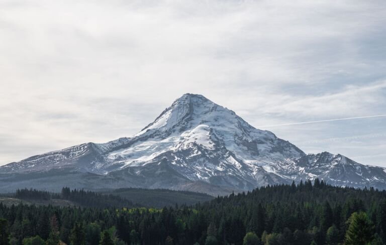 Thunder Mountain Trail #543
2.4 mi
965 ft
Moderate
A switchbacking climb of about 1.2 miles to the summit of Thunder Mountain, with views of the surrounding mountains and a side…
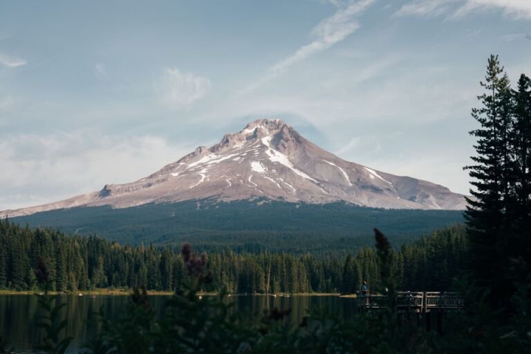 Tilly Jane Ski Trail #643
5.4 mi
1,920 ft
Hard
A downhill cross-country ski route on Mount Hood's northeast side, from Tilly Jane Campground past the Tilly Jane Shelter to Forest Road…
 Tilly Jane Trail #600A
3.4 mi
1,077 ft
Moderate
A climb through 2008 wildfire remains on Mt. Hood's northeast side, from Cloud Cap Saddle Campground by Tilly Jane Campground to the…
 Timber Lake Trail #733
1.2 mi
84 ft
Easy
A kid-friendly 1.2-mile walk in the Olallie Lake Scenic Area, from Skyline Road by way of Red Lake Trail to quiet Timber…
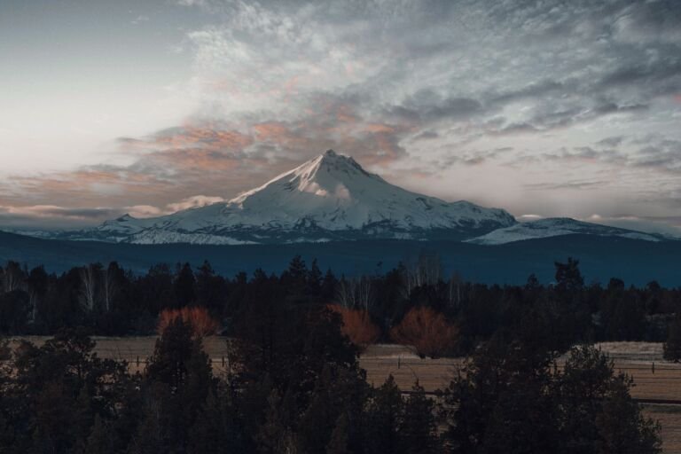 Timberline to Town Trail #756
A popular mountain bike trail linking Government Camp with Timberline Lodge, ending at the foot of the Magic Mile chairlift.