
Showing 217–240 of 245 trails
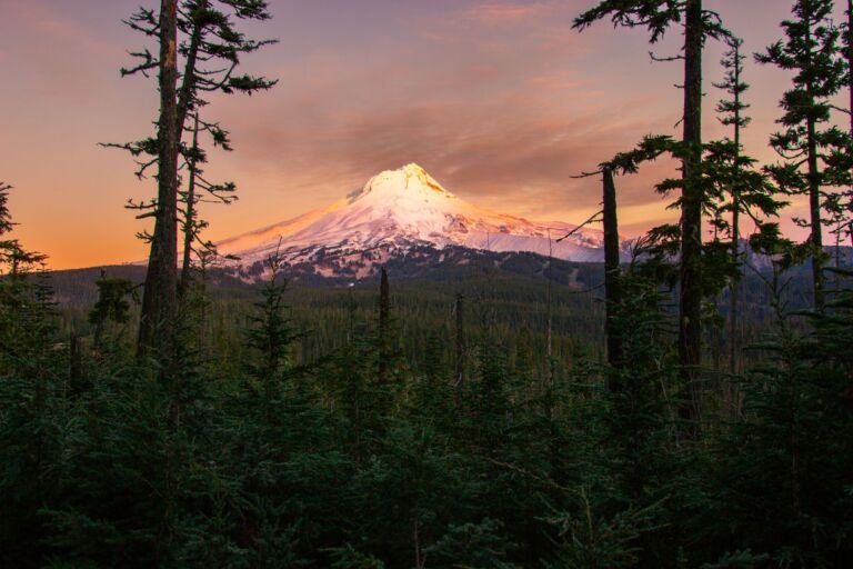 Timberline Trail #600
58.6 mi
16,475 ft
Very hard
A loop of about 40 miles around Mt. Hood near tree line, built by the CCC in the 1930s, with waterfalls, alpine…
 Timothy Lake Trail #528
14.8 mi
1,118 ft
Hard
A lakeshore trail at Timothy Lake with views of Mount Hood and Mount Jefferson that joins the Pacific Crest Trail for a…
 Top Lake Trail #725
1 mi
144 ft
Easy
Top Lake Trail #725 runs from Red Lake Trail along Top Lake and switchbacks up to the Pacific Crest Trail, giving access…
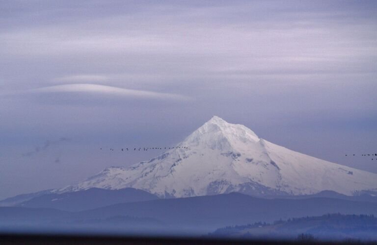 Top Spur Trail #785
1 mi
348 ft
Easy
A half-mile forested trail from the Lolo Pass area into the Mount Hood Wilderness, often used to reach the Timberline and Pacific…
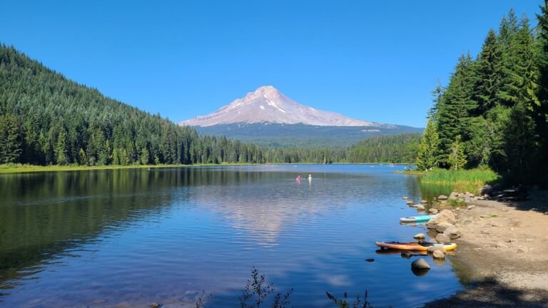
 Trillium Lake Loop Trail #761
1.8 mi
11 ft
Easy
An easy, barrier-free 2-mile loop around Trillium Lake on boardwalk and fine rock, with wetlands and views of Mt. Hood.
 Twin Lakes Trail #495
6 mi
950 ft
Hard
A Mount Hood Wilderness trail off the Pacific Crest Trail that visits Lower and Upper Twin Lakes, with swimming and a cliff-top…
 Twin Lakes Trail #573
8 mi
3,289 ft
Very hard
A popular Bull of the Woods Wilderness trail through old-growth forest to Upper and Lower Twin Lake, linking the Bagby and Mother…
 Tygh Creek Trail #460
13.2 mi
3,826 ft
Very hard
A quiet climb through ponderosa pine and oak in the Badger Creek Wilderness, from Tygh Creek on Forest Road 27 up to…
 Umbrella/Sahalie Falls Trail #667
6.4 mi
1,420 ft
Hard
A trail on Mount Hood's southeast side from Timberline Trail #600 by Umbrella Falls to Mt. Hood Meadows, with a Sahalie Falls…
 Underhill Trail #683
5.6 mi
1,483 ft
Hard
A short, easy trail from Underhill Campground on Dufur Mill Road, crossing Ramsey Creek on its way to the Fifteenmile and Cedar…
 Upper White River Trail
A scramble trail from White River West Sno-Park off Highway 35 to 1 Mile Canyon that gives access to the Timberline Trail.
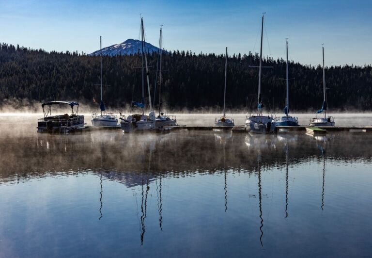 Veda Lake Trail #673
2.4 mi
889 ft
Moderate
A 1.2-mile trail over a ridge and down to Veda Lake, with views of the lake, the Still Creek drainage and Mt.…
 Vista Ridge Trail #626
5 mi
1,159 ft
Hard
One of the shorter routes to Timberline Trail on Mount Hood's north side, climbing Vista Ridge to the Eden Park Trail junction.
 Wagon Road Trail #642
A Nordic ski trail on Mount Hood's northeast side that drops from Cloud Cap Inn to Cloud Cap Road through an old…
 Wally’s Tie Trail #755A
0.6 mi
13 ft
Easy
A Government Camp connector between Crosstown and Skiway trails, with views of Mt. Hood and Skibowl and a wide clearing for skiing…
 Warren Lake Trail
The shortest route to Warren Lake in the Mark O. Hatfield Wilderness, about 0.7 mile from Forest Road 2821 by way of…
 Welcome Lakes Trail #554
8.2 mi
3,002 ft
Very hard
A main east-west route in Bull of the Woods Wilderness, dropping from the Bull of the Woods summit area by the Welcome…
 West Benson Way Trail
A side trail on the Benson Plateau that leaves and rejoins the Pacific Crest Trail, reached by a big climb from Herman…
 West Lake Way Trail #556
2 mi
503 ft
Easy
A short Bull of the Woods Wilderness connector from Schreiner Peak Trail down to Upper Welcome Lake, crossing the West Lake Basin.
 West Zigzag Trail #789
4.6 mi
1,607 ft
Hard
A short, steep climb from Zigzag Mountain Road to the ridge of Zigzag Mountain in the Mount Hood Wilderness, with an 8.4-mile…
 Whetstone Trail #546
2 mi
589 ft
Easy
A 4-mile ridge trail on the edge of the Bull of the Woods and Opal Creek wildernesses, with Mount Jefferson and the…
 White Away Trail
A Government Camp trail system route from Snowbunny Trail to End of the Road, used for cross-country skiing and snowshoeing in winter.
 White River Trail #538
A rough route into the Mount Hood Wilderness from Highway 35, crossing the White River with early views of Mt. Hood and…
 Wildcat Mountain Trail #781F
0.2 mi
97 ft
Easy
A 0.1-mile spur off Douglas Trail to the 4,480-foot summit of Wildcat Mountain in the Salmon-Huckleberry Wilderness, about 2 miles from parking.