Skip to content
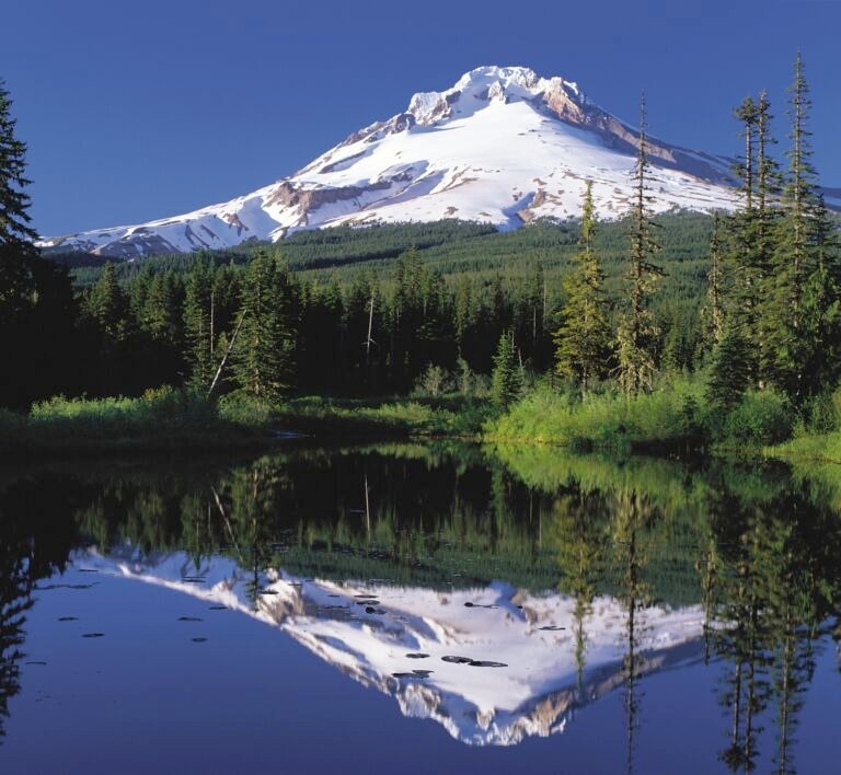 Mirror Lake Sno-Park & Trailhead
3,600 ft
A trailhead and Sno-Park beside Skibowl West on US Highway 26 near Government Camp, the start of the Mirror Lake Trail, at…
 Mt. Defiance South Trailhead
 is a roadside pullout on Dead Point Road with three trails into the Mark O. Hatfield Wilderness.
 Oak Ridge Trailhead
, off Highway 35 south of Hood River, is a large trailhead for Oak Ridge Trail #688A with a loop…
 Old Growth Trailhead
 near Lost Lake leads to a short, barrier-free trail through old-growth forest in the Hood River Ranger District.
 Old Salmon River Trailhead
Zigzag District trailhead on Salmon River Road for the kid-friendly Old Salmon River Trail, a 1.9-mile path along the Salmon River.
 Old Skyline – Lost Lake Trailhead
Old Skyline-Lost Lake Trailhead, by Lost Lake Campground in the Hood River Ranger District, serves the 2.5-mile Old Skyline Trail.
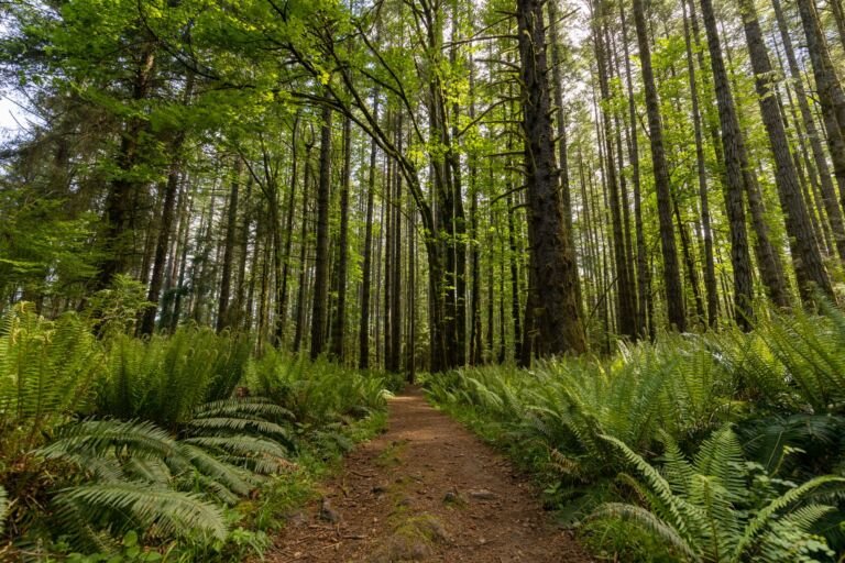 Pacific Crest North – Indian Springs Trailhead
Indian Springs Trailhead (Pacific Crest North), beyond Wahtum Lake Campground, reaches the Pacific Crest Trail and Mark O. Hatfield Wilderness.
 Pacific Crest South – Lolo Pass Trailhead
Pacific Crest South at Lolo Pass is a small roadside trailhead for the Pacific Crest Trail, about 10.5 miles up Lolo Pass…
 Paradise Park Trailhead
A Zigzag Ranger District trailhead where Paradise Park Trail #778 heads into the Mount Hood Wilderness from its west side.
 Pinnacle Ridge Trailhead
, past Laurance Lake in the Hood River Ranger District, starts Pinnacle Ridge Trail #630 into the Mount Hood Wilderness.
Pioneer Bridle Trailhead
Pioneer Bridle Trailhead, off US Highway 26 near milepost 44, gives access to the Pioneer Bridle Trail, a major mountain bike route.
 Pioneer Woman’s Grave Trailhead
A small trailhead on the historic Barlow Road near Barlow Pass, and the starting point for the Pioneer Woman's Grave Trail.
 Plaza Lake Trailhead
A short trail from Plaza Lake Trailhead reaches Plaza Lake in the southern Salmon-Huckleberry Wilderness, with views of Mount Hood on the…
Plaza Trailhead
Plaza Trailhead is the way onto Plaza Trail #783, a south-to-north route into the Salmon-Huckleberry Wilderness with several viewpoints.
Polallie Trailhead
A Highway 35 pullout near Cooper Spur Road with access to the East Fork and Elk Meadows trails and a quieter route…
 Rainbow Day Use & Trailhead
A small trailhead inside Rainbow Campground east of Estacada and the starting point for the Riverside Trail along the Clackamas River.
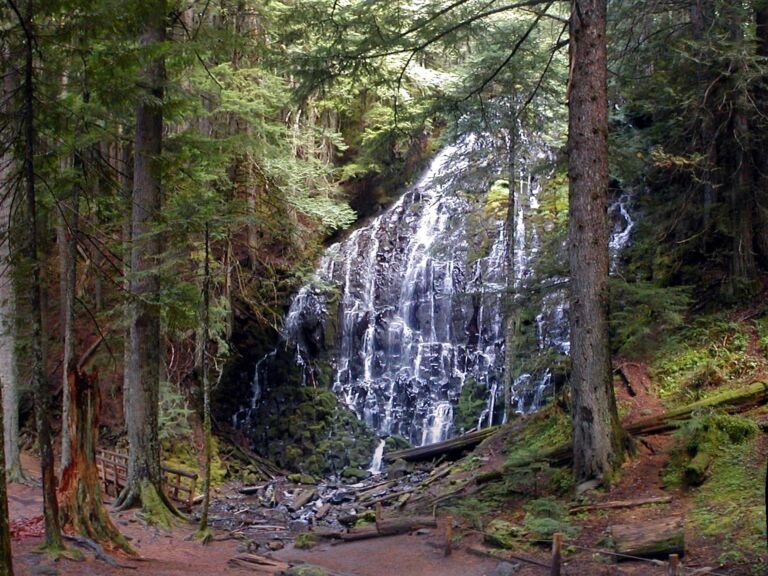 Ramona Falls Trailhead
The trailhead for the Ramona Falls Loop north of Zigzag, with access to the Sandy River, the Pacific Crest Trail, and the…
Salmon Butte Trailhead
Zigzag District trailhead about six miles up Salmon River Road from Welches, the starting point for the Salmon Butte Trail.
 Salmon River East Trailhead
 is the less busy way onto Salmon River Trail #742 and into the Salmon-Huckleberry Wilderness, off US Hwy…
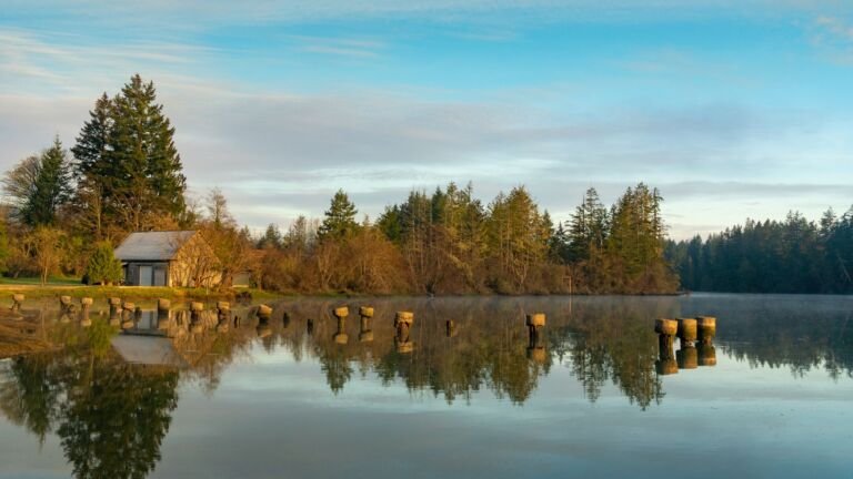 Salmon River West Trailhead
The main trailhead for Salmon River Trail #742, which follows the Salmon River through old-growth forest into the Salmon-Huckleberry Wilderness.
School Canyon Trailhead
School Canyon Trailhead, next to the Badger Creek Wilderness west of Tygh Valley, serves School Canyon Trail #468 and parks about 15…
 Shellrock Lake Trailhead
, in the Clackamas River Ranger District, leads to a small high-elevation lake with Douglas fir forest along its shore.
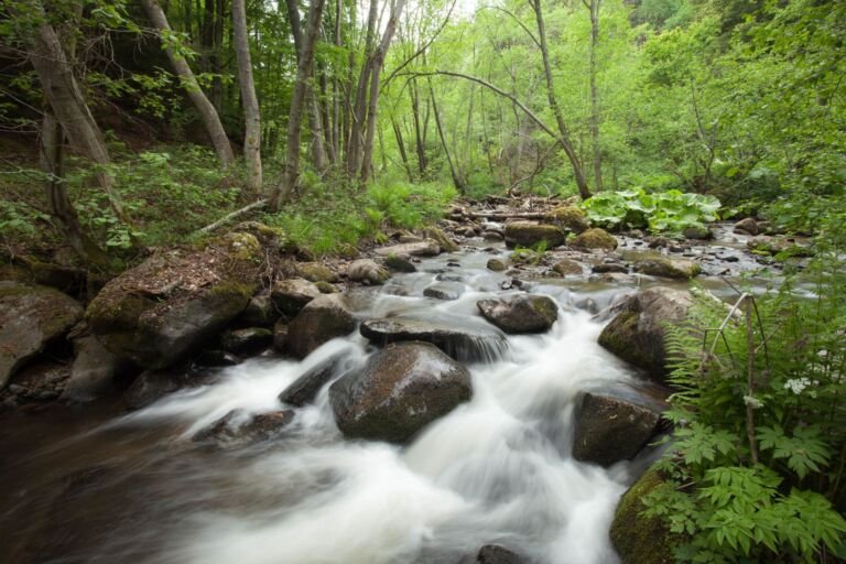 Still Creek Trailhead
 starts at Camp Creek Campground off US Highway 26, on a forest trail that stays mostly under a 10…
Surveyor’s Ridge North Trailhead
Surveyor’s Ridge North Trailhead near Hood River is the northern access point for Surveyor’s Ridge Trail #688, used by mountain bikers and…
