
Showing 73–96 of 245 trails
 Fish Creek Mountain Trail #541
4.6 mi
2,150 ft
Hard
A ridge-walking trail off Highway 224 to a former lookout site on Fish Creek Mountain and to High Lake, with wildflowers and…
 Fish Lake Trail #717
5.4 mi
845 ft
Moderate
An Olallie Lake Scenic Area trail linking Lower Lake, Fish Lake and Si Lake through old-growth forest, starting from Lower Lake Campground.
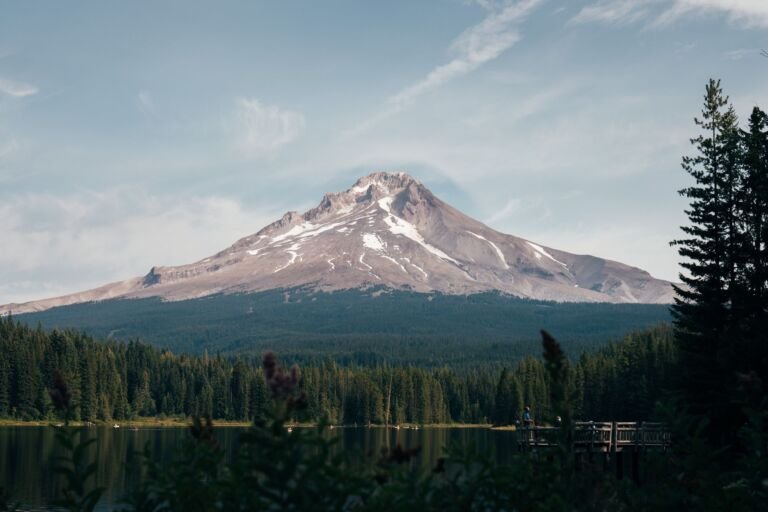 Flag Mountain Trail #766
3.8 mi
1,397 ft
Hard
A lower-elevation ridge trail off US 26 with a few views of Mt. Hood, plenty of dogwood and rhododendron, and a steep…
 Forest Creek Trail #473
6 mi
1,307 ft
Hard
A more difficult trail with views of Mount Hood and Boulder Creek that loops with Hidden Meadows Trail for 6.5 miles from…
 French’s Dome Trail #776
0.6 mi
31 ft
Easy
A short, quiet trail off Lolo Pass Road to French’s Dome, an andesite crag and popular rock climbing spot on Mount Hood's…
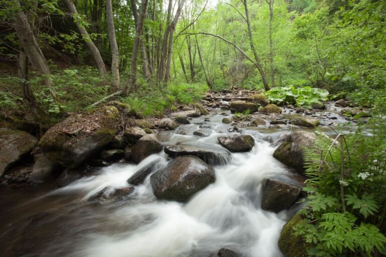 Fret Creek Trail #456A
4 mi
1,010 ft
Moderate
A steep climb along Fret Creek past Oval Lake to Divide Trail #458 in the Badger Creek Wilderness, starting near Fifteenmile Campground.
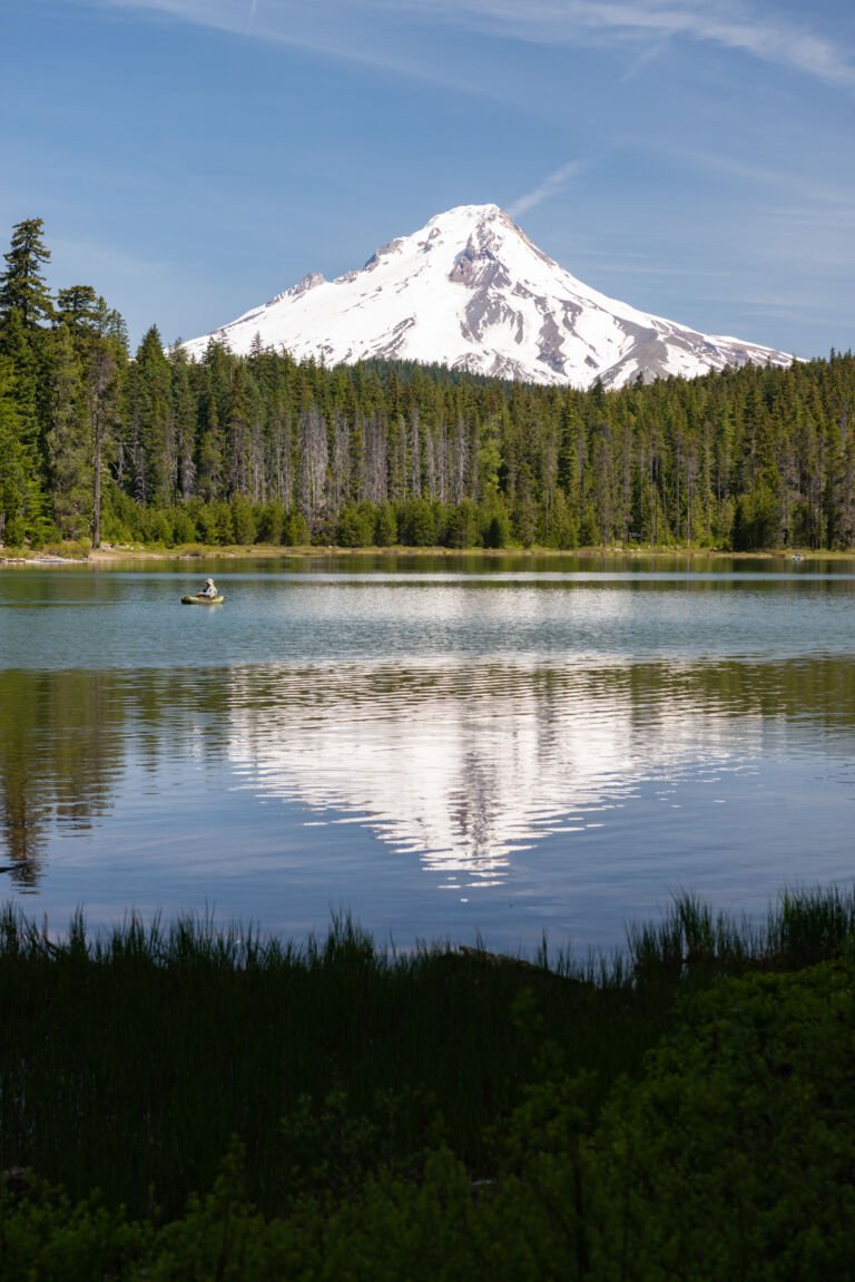 Frog Lake Trail #530
2 mi
836 ft
Moderate
A short, steep climb from Frog Lake Campground with an early view of Mount Jefferson, ending at Frog Lake Butte Trail #484.
 Glacier View Trail #692B
A lower-elevation ski and snowshoe trail just west of Government Camp that loops with Pioneer Bridle Trail, starting at Glacier View Sno-Park.
 Glade Trail #661
A steep trail between Crosstown Trail #755 and historic Timberline Lodge, used by downhill skiers in winter and known for late summer…
 Gnarl Ridge Cut Off Trail #652A
1.2 mi
385 ft
Easy
A short uphill connector in the Mount Hood Wilderness between the Elk Meadows Perimeter Trail and Gnarl Ridge Trail, making a loop…
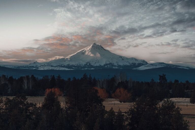 Gnarl Ridge Trail #652
2 mi
382 ft
Easy
A short, moderate climb in the Mount Hood Wilderness from Elk Meadows Trail to the Timberline Trail on Mount Hood's east side,…
 Gorton Creek Trail #408
7.4 mi
1,454 ft
Hard
A long climb from Herman Creek in the Columbia Gorge to Rainy Wahtum Trail near Rainy Lake in the Mark O. Hatfield…
 Green Canyon Way Trail #793A
6.4 mi
3,698 ft
Very hard
A steep, primitive climb from Green Canyon Campground on the Salmon River to Hunchback Trail, gaining 2,400 feet in 3.2 miles.
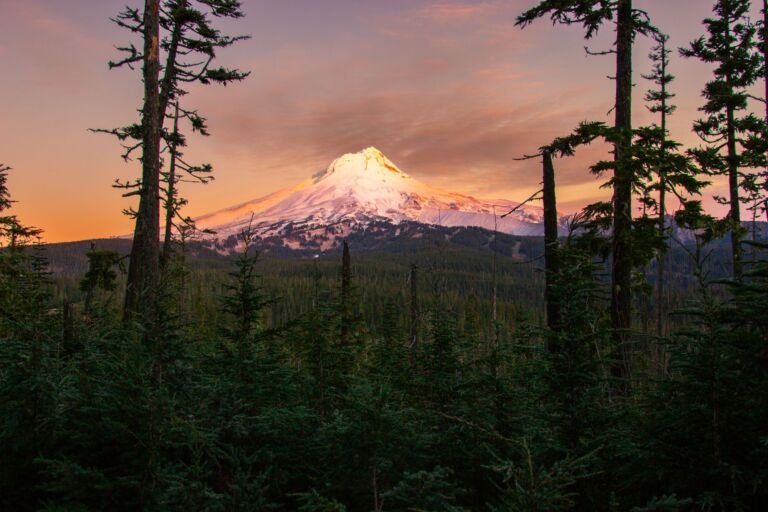 Green Point Ridge Trail #418
5 mi
809 ft
Moderate
A forested 2.5-mile ridge trail in the Mark O. Hatfield Wilderness linking Wyeth Trail #411 with Gorton Creek Trail #408 near Rainy…
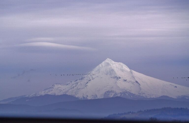 Grouse Point Trail #517
17 mi
5,933 ft
Very hard
A Roaring River Wilderness trail from Frazier Turnaround by Cache Meadows and Grouse Point, ending with a steep drop to the Roaring…
 Gumjuwac Trail #480
9 mi
3,225 ft
Very hard
A moderate trail from OR Hwy 35 over Gumjuwac Saddle to Badger Creek, through old-growth forest, glades and meadows.
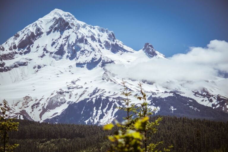 Gunsight Butte Trail #685
10 mi
2,058 ft
Very hard
A ridge trail by the Badger Creek Wilderness from Bennett Pass Road over Gunsight Butte to Gumjuwac Saddle, with Mt. Hood views…
 Headwaters Trail #522
3.6 mi
237 ft
Easy
A gentle horse trail between the Pacific Crest Trail near Joe Graham Horse Camp and Miller Trail #534, with a 2.4-mile loop…
Hemlock Trail #691A
A wide, gentle cross-country ski trail near Government Camp that gains only 80 feet in half a mile, a good fit for…
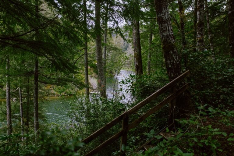 Herman Creek Trail #406
16 mi
4,520 ft
Very hard
A long Mark O. Hatfield Wilderness trail through old-growth forest and past waterfalls, from Herman Creek Campground toward Wahtum Lake.
 Herman Cutoff Trail #410
4.4 mi
1,523 ft
Hard
A connector in the Mark O. Hatfield Wilderness dropping from Rainy Wahtum Trail to Herman Creek Trail, useful for loops near Rainy…
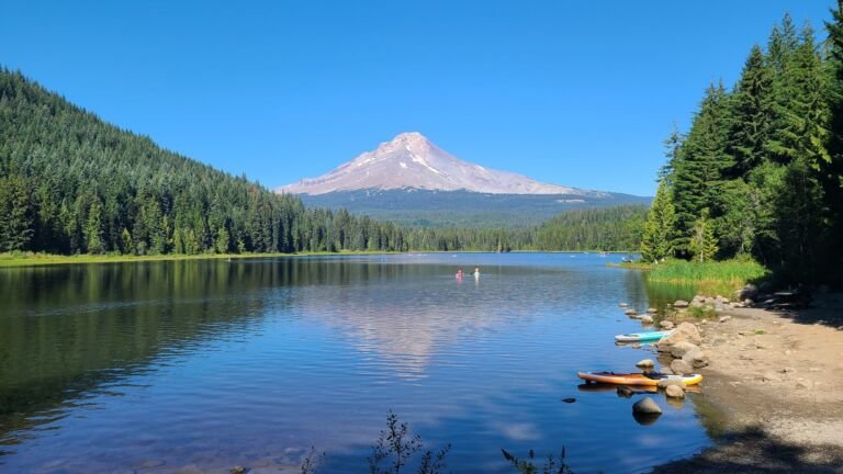 Hidden Lake Trail #779
8.4 mi
2,694 ft
Very hard
A Mount Hood Wilderness climb through rhododendrons to small Hidden Lake at 2 miles and on to the Pacific Crest Trail at…
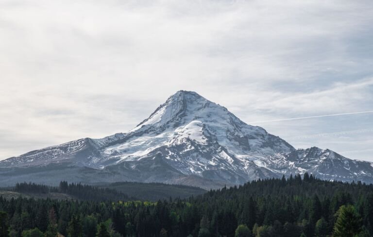 High Prairie Trail #493
4.6 mi
872 ft
Moderate
A Badger Creek Wilderness loop around High Prairie, with a side trip up Lookout Mountain and Cascade views from the Three Sisters…
Hillockburn Trail #516
2.8 mi
1,110 ft
Moderate
A 1.4-mile Clackamas Wilderness trail from Forest Road 45 down to the Clackamas River's South Fork, used mostly by anglers.