
Showing 49–72 of 245 trails
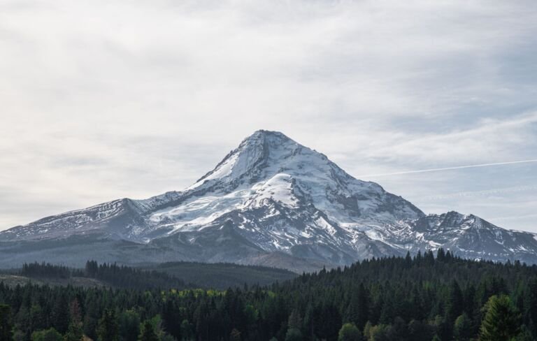 Divide Trail #458
15.4 mi
4,865 ft
Very hard
A ridge trail in the Badger Creek Wilderness to Lookout Mountain, with views of Mt. Rainier, Mt. Adams and Mt. Hood and…
 Dog River Trail #675
10.6 mi
2,565 ft
Very hard
A trail on Mount Hood's east side from Hwy 35 across Dog River up to two Mt. Hood viewpoints, with lots of…
 Douglas Trail #781
14.2 mi
3,659 ft
Very hard
A quiet ridge trail with views near Wildcat Mountain, partly in the Salmon-Huckleberry Wilderness, from the Douglas Trailhead.
 Dry Fir Trail #674A
5.8 mi
963 ft
Hard
A lightly used forest trail south of US 26 that descends a ridge, with Cascade Range views from an old clearcut near…
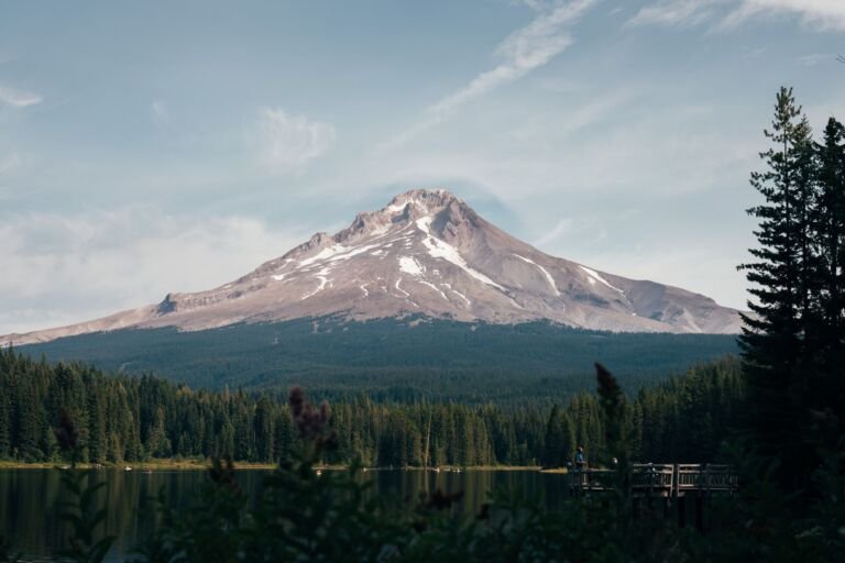 Dry Ridge Trail #518
10.4 mi
4,148 ft
Very hard
A steep 5.2-mile climb in the Roaring River Wilderness, from Roaring River Campground on OR 224 up a ridge to Grouse Point…
 Dublin Lake Trail #401B
0.4 mi
256 ft
Easy
A spur in the Mark O. Hatfield Wilderness that descends from Tanner Butte Trail #401 to Dublin Lake, a little-used lake with…
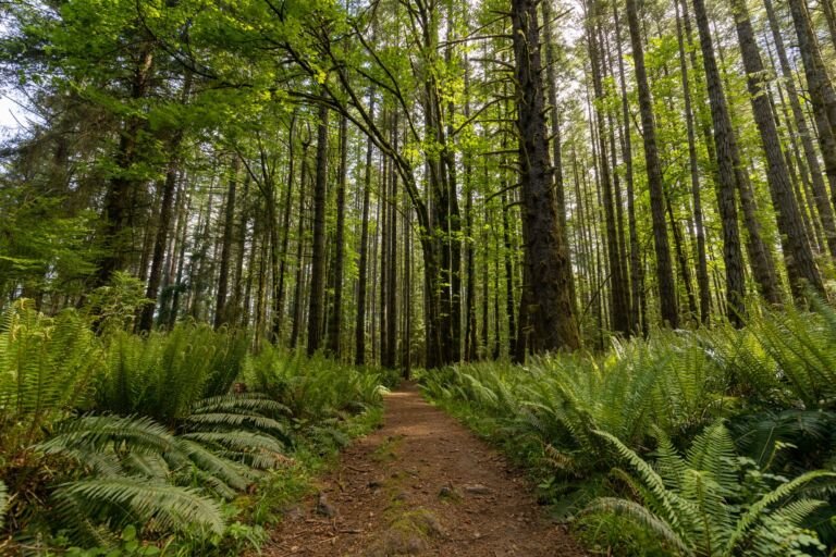 Eagle Benson Trail #434
5.4 mi
3,390 ft
Hard
A steep, demanding trail for experienced hikers that climbs from Eagle Creek Trail #440 to the PCT in the Mark O. Hatfield…
 Eagle Creek Cutoff Trail #504
4.2 mi
2,317 ft
Hard
A little-used link in the Salmon-Huckleberry Wilderness, climbing by switchbacks from Eagle Creek Trail #501 up to Old Baldy Trail #502.
 Eagle Creek Trail #440 (Columbia River Gorge)
18 mi
5,148 ft
Very hard
The Columbia Gorge's busiest trail follows Eagle Creek past Punch Bowl Falls, High Bridge and Tunnel Falls on the long climb to…
Eagle Creek Trail #501
13.2 mi
4,014 ft
Very hard
A mostly level 6.4-mile walk along Eagle Creek through old-growth forest in the Salmon-Huckleberry Wilderness, with campsites along the way.
 Eagle Tanner Trail #433
9 mi
2,550 ft
Very hard
A quieter Mark O. Hatfield Wilderness link from Eagle Creek Trail to Tanner Butte Trail, climbing by Big Cedar Springs and Thrush…
 East Fork Trail #650
14 mi
1,820 ft
Very hard
A riverside trail along the East Fork Hood River between Polallie and Tamanawas Falls trailheads, with fishing access and a loop to…
 Eden Park Trail #600H
3.4 mi
1,011 ft
Moderate
A short Mount Hood Wilderness detour off the Timberline Trail through Eden Park, a wet meadow of wildflowers and huckleberry on the…
 Eightmile Interpretive Trail #496A
1.2 mi
106 ft
Easy
A short, easy and wide interpretive trail linking Eightmile Campground with Lower Eightmile Crossing Campground, off Dufur Mill Road.
 Eightmile Loop Trail #496
6.2 mi
1,314 ft
Hard
A mountain bike loop from Eightmile Campground with a spur to Fivemile Butte Lookout and its views of Mt. Hood, Mt. Adams…
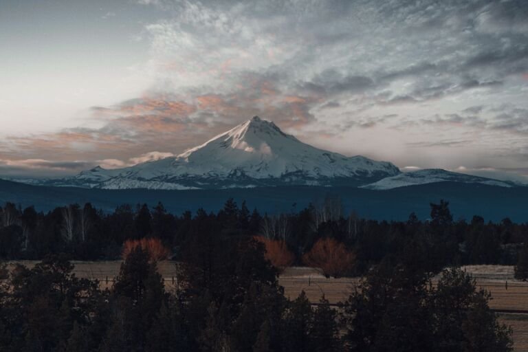 Elk Cove Trail #631
10 mi
2,323 ft
Very hard
A Mount Hood Wilderness climb from Laurance Lake Road to the Timberline Trail, with meadows, wildflowers and close views of Mt. Hood's…
 Elk Lake Creek Trail #559
17.4 mi
3,551 ft
Very hard
A north-south route along Elk Lake Creek in the Bull of the Woods Wilderness, with old-growth firs, waterfalls and rhododendrons, ending at…
 Elk Meadows Bluegrass Tie Trail #647B
0.6 mi
413 ft
Easy
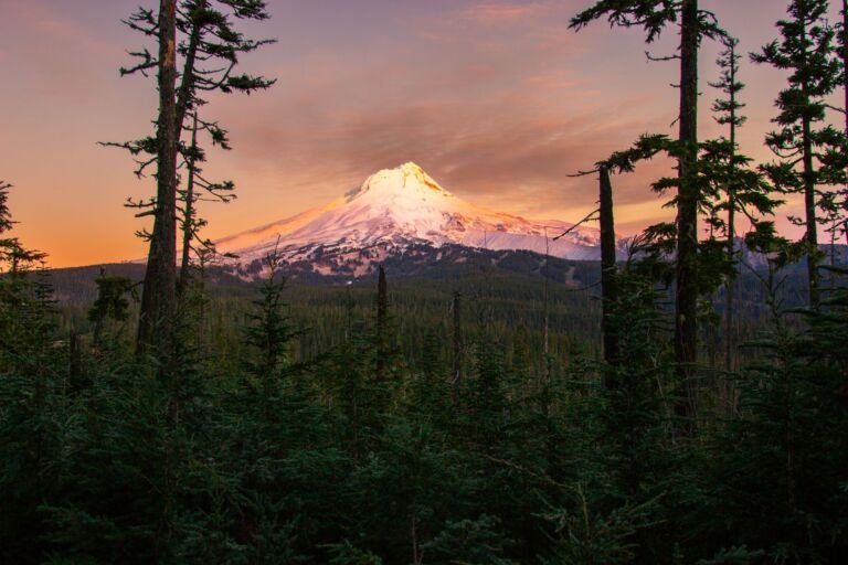
A short, steep scramble in the Mount Hood Wilderness linking Elk Meadows Trail to Bluegrass Ridge Trail for a loop on Mount…
 Elk Meadows Trail #645
17.6 mi
3,439 ft
Very hard
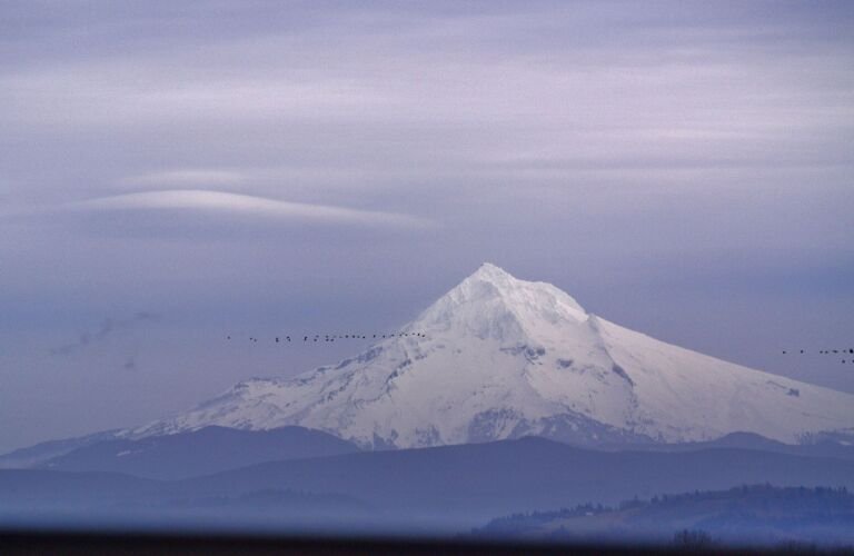
A Mount Hood Wilderness trail on the mountain's east side that follows a long ridge from Highway 35 to Elk Meadows, with…
 Elk Mountain Vista Trail #647C
0.4 mi
47 ft
Easy
A Mount Hood Wilderness side trail from Bluegrass Ridge to an Elk Mountain viewpoint with an old lookout's remains and views of…
 Enid Lake Trail #692A
A Government Camp trail system link between Crosstown Trail #755 and Glacier View Trail #692B, popular for skiing and snowshoeing in winter.
 Eureka Peak Trail #671
2.4 mi
972 ft
Moderate
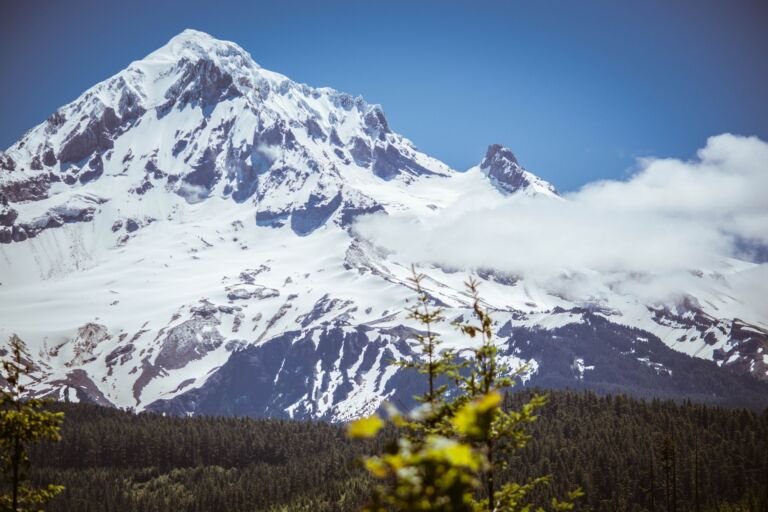
A short, mostly downhill single-track trail for experienced mountain bikers between Sherar Burn Road and Still Creek Road.
Fanton Trail #505
8.6 mi
1,818 ft
Hard
A forested ridge trail east of Estacada from Forest Road 4614-130 to Old Baldy Trail #502, with viewpoints at Tumala Mountain and…
Fifteenmile Trail #456
22.4 mi
4,064 ft
Very hard
A rugged hiking and biking route along Wild and Scenic Fifteenmile Creek, with a loop option using Cedar Creek Trail #457.