
The Roaring River runs through the heart of the wilderness on its way to the Clackamas River. Steelhead and salmon spawn in its waters, and the valley is home to elk, mule deer, bears, cougars, pileated woodpeckers and spotted owls.
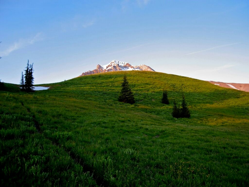
Up high, the land opens into meadows and small lakes. Lupine and Indian paintbrush bloom in summer. Cache Meadow is one of many alpine meadows, and the Rock Lakes and Serene Lake sit along the main trail. The Salmon-Huckleberry Wilderness borders it to the north and the Clackamas Wilderness to the west.
Plan your drive. The high trailheads sit at the end of long Forest roads, such as Road 4610-240 to Frazier Turnaround and Road 4635-140 to the Cache Meadow and Rimrock trailheads. The Forest describes the access roads as limited and says you need navigation and backcountry skills to use them. Check the alerts page for fire closures on the Clackamas River Ranger District before you go.
From Frazier Turnaround, pass spur trails to the three Rock Lakes, then reach Serene Lake. Come back on Grouse Point Trail #517 to make a loop of about 10 miles.
Starts at Roaring River Campground on Highway 224 near 1,000 feet and climbs steeply to about 4,000 feet. Horses are allowed but not recommended on its narrow, steep tread.
A gradual 1.7-mile climb through subalpine forest, past two meadows and two seasonal lakes, to Cache Meadow.
Starts beside Hideaway Lake Campground on Forest Road 5830, passes Shellrock Lake and ends at Frazier Turnaround.
Do
Don't
 Cache Meadow Trail #702
3 mi
364 ft
Easy
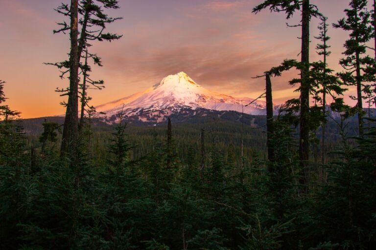
A gradual 1.7-mile climb through subalpine timber in the Roaring River Wilderness, going by meadows and seasonal lakes to Cache Meadow.
 Corral Springs Trail #507
5.2 mi
2,155 ft
Hard
A very steep 2.6-mile descent from Lookout Springs into the Roaring River Wilderness, ending at a rustic camping area on the Roaring…
 Dry Ridge Trail #518
10.4 mi
4,148 ft
Very hard
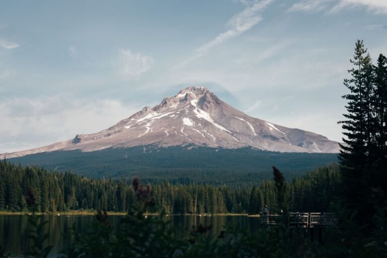
A steep 5.2-mile climb in the Roaring River Wilderness, from Roaring River Campground on OR 224 up a ridge to Grouse Point…
 Grouse Point Trail #517
17 mi
5,933 ft
Very hard
A Roaring River Wilderness trail from Frazier Turnaround by Cache Meadows and Grouse Point, ending with a steep drop to the Roaring…
 Huxley Lake Trail #521
6 mi
1,861 ft
Hard
A trail in the Roaring River Wilderness from Lookout Springs down to Huxley Lake, a small, fairly secluded lake with views of…
 Pyramid Lake Trail #727
0.4 mi
154 ft
Easy
A short trail through mature forest and a string of meadows to Pyramid Lake in the Roaring River Wilderness.
 Rimrock Trail #704
4.6 mi
1,220 ft
Hard
A 2.4-mile trail around Mount Mitchell in the Roaring River Wilderness between two forest roads, with an extension to Cottonwood Lake.
 Serene Lake Trail #512
7.2 mi
2,005 ft
Hard
A Roaring River Wilderness trail by the Rock Lakes to Serene Lake, with a 10-mile loop on Grouse Point Trail #517.
Shellrock Lake Trail #700
4 mi
764 ft
Moderate
Shellrock Lake Trail #700 enters the Roaring River Wilderness near Hideaway Lake Campground and runs past Shellrock Lake to Frazier Turnaround.
 Shining Lake Trail #510
8.8 mi
1,409 ft
Hard
A ridge walk in the Roaring River Wilderness from Frazier Turnaround along Indian Ridge, then down switchbacks to Shining Lake.
Congress designated the Roaring River Wilderness on March 30, 2009, in the Omnibus Public Land Management Act. At more than 36,500 acres, it was the biggest single piece of new wilderness that Oregon gained that year.
No. Before the 2009 designation, the Serene Lake, Shining Lake, Dry Ridge, Shellrock Lake and Grouse Point trails were open to mountain bikes. Now that the area is wilderness, bicycles are banned there, as in every national forest wilderness.
Serene Lake Trail #512 passes spur trails to Lower, Middle and Upper Rock Lakes before reaching Serene Lake. Shellrock Lake Trail #700 passes Shellrock Lake, and Cache Meadow Trail #702 passes two seasonal lakes on the way to Cache Meadow. Wilderness Connect names the Rock Lakes and Serene Lake as the main lakes of the Roaring River Wilderness.
Wilderness Connect lists no area-specific group size limit for the Roaring River Wilderness. The nearby Salmon-Huckleberry and Mount Hood wilderness areas cap groups at 12 people and stock, so a small group is a good habit here too. Ask the Clackamas River Ranger District before a large group trip.
Serene Lake Trail #512 starts at Frazier Turnaround at the end of Forest Road 4610-240, reached from Highway 224 by Forest Roads 57, 58 and 4610. From the trailhead it is roughly 3 miles to Serene Lake, past spur trails to the Rock Lakes, and you can loop back on Grouse Point Trail #517 for about 10 miles in all.