
The five pieces are Big Bottom, Clackamas Canyon, Memaloose Lake, Sisi Butte and South Fork Clackamas. They sit on both sides of the Wild and Scenic Clackamas River, beginning about 22 miles southeast of Estacada along Highway 224.
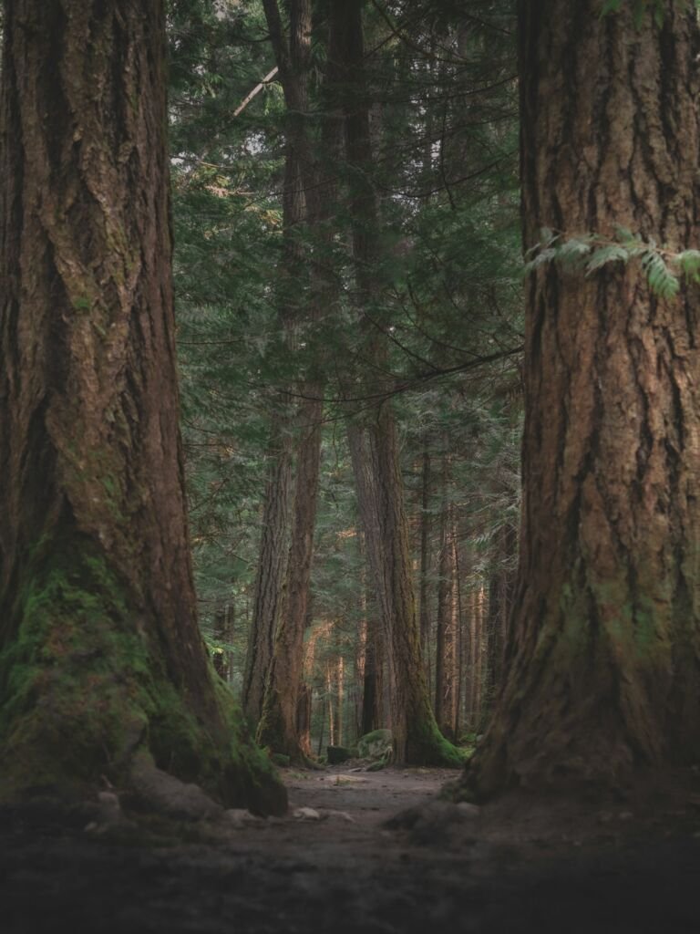
These scattered tracts hold trees that rank among the biggest in northwest Oregon. The old forest around Memaloose Lake survives as a rare island of mature trees in otherwise heavily logged country. The name comes from a Chinook Jargon word meaning dead. The larger Roaring River Wilderness lies just to the east.
Road and fire damage, as of November 2026. A Forest order closes Forest Road 45 (Memaloose Road) to vehicles from the Highway 224 bridge to the Road 45-310 junction, and Road 54 from Highway 224 to Road 5410. The Forest's Hillockburn Trail page routes drivers in from Highway 211 by South Hillockburn Road instead. The 2020 Riverside Fire left downed trees, slides and lost bridges on the Clackamas River and Hillockburn trails. Call the Clackamas River Ranger District to confirm the best route to Memaloose Lake.
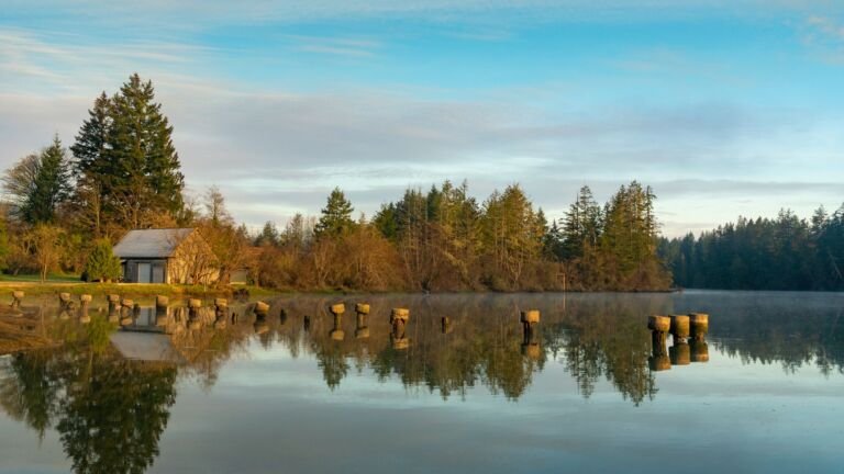
Climbs gradually through old growth for a little over a mile to Memaloose Lake at 4,080 feet, with primitive campsites across the outlet. An unmarked, unmaintained path continues about a mile to the top of South Fork Mountain.
Drops on switchbacks to the South Fork Clackamas River and is used mostly by anglers. It was badly damaged in the 2020 Riverside Fire, so use extreme caution.
Runs partly inside the wilderness between Fish Creek and Indian Henry. Since the Riverside Fire it no longer connects end to end, but you can walk in from either side.
Do
Don't
 Clackamas River Trail #715
15 mi
7,702 ft
Very hard
A trail with trailheads at Fish Creek and Indian Henry off OR 224 southeast of Estacada, partly in the Clackamas Wilderness.
 Hillockburn Trail #516
2.8 mi
1,110 ft
Moderate
A 1.4-mile Clackamas Wilderness trail from Forest Road 45 down to the Clackamas River's South Fork, used mostly by anglers.
 Memaloose Lake Trail #515
3.6 mi
1,653 ft
Hard
A 1.2-mile climb through old-growth forest in the Clackamas Wilderness to Memaloose Lake, with an unmaintained path on to South Fork Mountain.
Memaloose Lake is in the Clackamas Wilderness on Mt. Hood National Forest, southeast of Estacada. Memaloose Lake Trail #515 starts on Forest Road 45 and climbs through old-growth forest a little over a mile to the lake at 4,080 feet. As of November 2026, the lower part of Road 45 from Highway 224 is closed to vehicles, so confirm your route with the Clackamas River Ranger District.
Yes. Primitive campsites sit across the outlet of Memaloose Lake in the Clackamas Wilderness. Use an existing site, pack out all trash, and follow wilderness rules and any fire restrictions in effect.
Partly. The 2020 Riverside Fire left downed trees, landslides and destroyed bridges on Clackamas River Trail #715, which runs partly inside the Clackamas Wilderness. You can hike in from either end, at Fish Creek or Indian Henry, but it no longer connects as a through trail. Mountain bikes are not allowed.
The Clackamas Wilderness, created in 2009, is made up of five separate roadless tracts along the Clackamas River: South Fork Clackamas, Sisi Butte, Memaloose Lake, Clackamas Canyon and Big Bottom. Their old forest, with trees among the biggest in northwest Oregon, helps protect drinking water and wildlife habitat.
Wilderness Connect lists no area-specific group size limit for the Clackamas Wilderness. Federal wilderness rules still apply, so bikes, motor vehicles and motorized tools are not allowed. Ask the Clackamas River Ranger District before bringing a large group.