
From the town of Rhododendron, Still Creek Road Trail heads out to Still Creek Campground. It shares its name with Still Creek Road, which also goes by Forest Road 2612, and it gives you a way to travel between town and campground under your own power.
Its main draw comes with snow, when the route is used for cross-country skiing and snowshoeing. Because it begins in Rhododendron, you can start your outing right from town.
Trail map & elevation
- Trail class
- Class 3 of 5
- Typical grade
- 5-8%
- Surface
- Snow
- Tread width
- <12 inches
- Ranger district
- Zigzag
Connects to: Sherar Burn Road Trail #2613, Still Creek Trail #780, Cool Creek Trail #794
Line, length and trail class: U.S. Forest Service trail data. Elevation: USGS 3D Elevation Program. Difficulty is our estimate for hiking it out and back (once around for a loop), from distance and total climb. Lines can be off by a few hundred feet; carry a real map and check the official page for closures.
Trails nearby
 Sherar Burn Road Trail #2613
18 mi round trip
2,557 ft
 Still Creek Trail #780
3.2 mi round trip
693 ft
Moderate
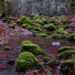 Cool Creek Trail #794
6 mi round trip
3,375 ft
Very hard
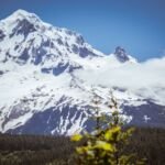 Eureka Peak Trail #671
2.4 mi round trip
972 ft
Moderate
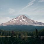 Flag Mountain Trail #766
3.8 mi round trip
1,397 ft
Hard
 Castle Canyon Trail #765
1.6 mi round trip
922 ft
Moderate
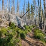 Pioneer Bridle Trail #795
16 mi round trip
2,488 ft
Very hard
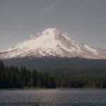 Trillium Lake Loop Trail #761
1.8 mi loop
11 ft
Easy
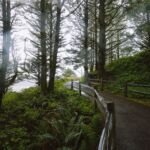 Snowbunny Trail
3.6 mi round trip
567 ft
 Barlow Trail #601A
1.4 mi round trip
218 ft
Easy
 Dry Fir Trail #674A
5.8 mi round trip
963 ft
Hard
West Zigzag Trail #789
4.6 mi round trip
1,607 ft
Hard