
Heading south from Joe Graham Horse Camp, just below Timothy Lake, this stretch of the Pacific Crest Trail runs to the Willamette National Forest boundary in the Mount Jefferson Wilderness. The north trailhead is at Joe Graham Campground on Skyline Road (Forest Road 42), reached from US Hwy 26.
After a long run through varied terrain, it reaches the Olallie Lake Scenic Area, follows the west side of Olallie Butte to Olallie Lake, and goes by Upper Lake on the way to Forest Road 4220. Olallie Lake and that road both make good starting points. South of the road it climbs into rocky alpine country with snow, where the tread is hard to find, so watch for small cairns.
Trail map & elevation
- Trail class
- Class 3 of 5
- Typical grade
- 8-10%
- Surface
- Native material
- Tread width
- 12-18 inches
- Ranger district
- Clackamas River
Connects to: Pacific Crest Trail (Zigzag RD), Ruddy Hill Trail #714, Joe Graham Trail #524, Headwaters Trail #522, Top Lake Trail #725, Miller Trail #534, Red Lake Trail #719
Line, length and trail class: U.S. Forest Service trail data. Elevation: USGS 3D Elevation Program. Difficulty is our estimate for hiking it out and back (once around for a loop), from distance and total climb. Lines can be off by a few hundred feet; carry a real map and check the official page for closures.
Getting there
From Portland, OR
- to the trailhead near Joe Graham Horse Camp, follow US Hwy 26 40.2 miles from Sandy to Skyline Road (Forest Road 42).
- Turn right at Skyline Road (Forest Road 42) and travel 8.3 miles and turn left into the Joe Graham Campground.
- Park in the day use parking area.
- The trail starts on the east side of the campground.
- There are several other points to access the trail along the route.
From the Forest Service
Rules and restrictions
Wilderness regulations apply in designated wilderness.
No mountain bikes allowed on the Pacific Crest Trail
Passes and permits
Permits for travel along the Pacific Crest Trail are required in some, but not all, areas along the trail. Visit the PCTA website for more information on permits.
Some trailheads, such as the Joe Graham/Pacific Crest Trailhead, require a fee and accept valid recreation passes.
Season details
Usually inaccessible until June due to snow.
Trails nearby
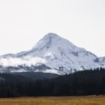 Pacific Crest Trail (Zigzag RD)
85.4 mi round trip
16,324 ft
Very hard
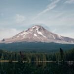 Ruddy Hill Trail #714
0.6 mi round trip
373 ft
Easy
 Joe Graham Trail #524
0.4 mi round trip
0 ft
Easy
 Headwaters Trail #522
3.6 mi round trip
237 ft
Easy
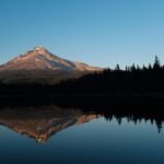 Top Lake Trail #725
1 mi round trip
144 ft
Easy
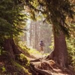 Miller Trail #534
4.2 mi round trip
298 ft
Moderate
 Red Lake Trail #719
10.8 mi round trip
2,279 ft
Very hard
Old 1916 Trail #537
8.4 mi round trip
903 ft
Hard
 Lodgepole Trail #706
8.8 mi round trip
1,648 ft
Hard
 Olallie Lake Trail #731
4.8 mi round trip
110 ft
Easy
 Southshore Trail #529
6 mi round trip
176 ft
Easy
 Timber Lake Trail #733
1.2 mi round trip
84 ft
Easy