
A very short connector, Joe Graham Trail #524 runs from Joe Graham Horse Camp to the Pacific Crest Trail #2000. If you are staying at the camp, it puts the PCT within easy reach without a long approach hike.
From Sandy, take US Highway 26 east for 40.2 miles to Skyline Road, which is also Forest Road 42. Turn right and drive about 8 miles to Joe Graham Campground. Use the day use parking area and find the trail at the campground’s east edge.
Trail map & elevation
- Trail class
- Class 3 of 5
- Typical grade
- 5-8%
- Surface
- Native material
- Tread width
- 18-24 inches
- Ranger district
- Clackamas River
Connects to: Pacific Crest Trail (Clackamas RD)
Line, length and trail class: U.S. Forest Service trail data. Elevation: USGS 3D Elevation Program. Difficulty is our estimate for hiking it out and back (once around for a loop), from distance and total climb. Lines can be off by a few hundred feet; carry a real map and check the official page for closures.
Getting there
From Sandy, OR
- follow US Hwy 26 for 40.2 miles east of Sandy to Skyline Road (Forest Road 42).
- Turn right onto Skyline Road (Forest Road 42) and follow it approx. 8 miles.
- Park in the day use parking area in the Joe Graham Campground.
- The trail starts on the east side of the campground.
From the Forest Service
Rules and restrictions
No horses allowed on this trail.
Passes and permits
A valid Recreation Pass is required at Joe Graham/Pacific Crest Trailhead.
Ranger office
Zigzag Ranger District
Address: 70220 E Highway 26 Zigzag, OR 97049
Phone: 503-622-3191
Hours: Monday to Friday, 8 a.m. to 4 p.m. Closed 12 to 1 for lunch. (Closed on federal holidays)
Trails nearby
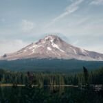 Pacific Crest Trail (Clackamas RD)
22.8 mi round trip
3,032 ft
Very hard
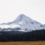 Pacific Crest Trail (Zigzag RD)
85.4 mi round trip
16,324 ft
Very hard
 Headwaters Trail #522
3.6 mi round trip
237 ft
Easy
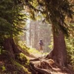 Old 1916 Trail #537
8.4 mi round trip
903 ft
Hard
Miller Trail #534
4.2 mi round trip
298 ft
Moderate
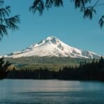 Timothy Lake Trail #528
14.8 mi round trip
1,118 ft
Hard
 Southshore Trail #529
6 mi round trip
176 ft
Easy
 Meditation Point Trail #526
0.6 mi round trip
31 ft
Easy