
The White River starts at the foot of the White River Glacier on Mt. Hood, and glacial silt gives it a milky color. The Mount Hood Wilderness protects its upper reaches. The Lower White River Wilderness guards a stretch roughly halfway between the glacier and the point where the river joins the Deschutes.
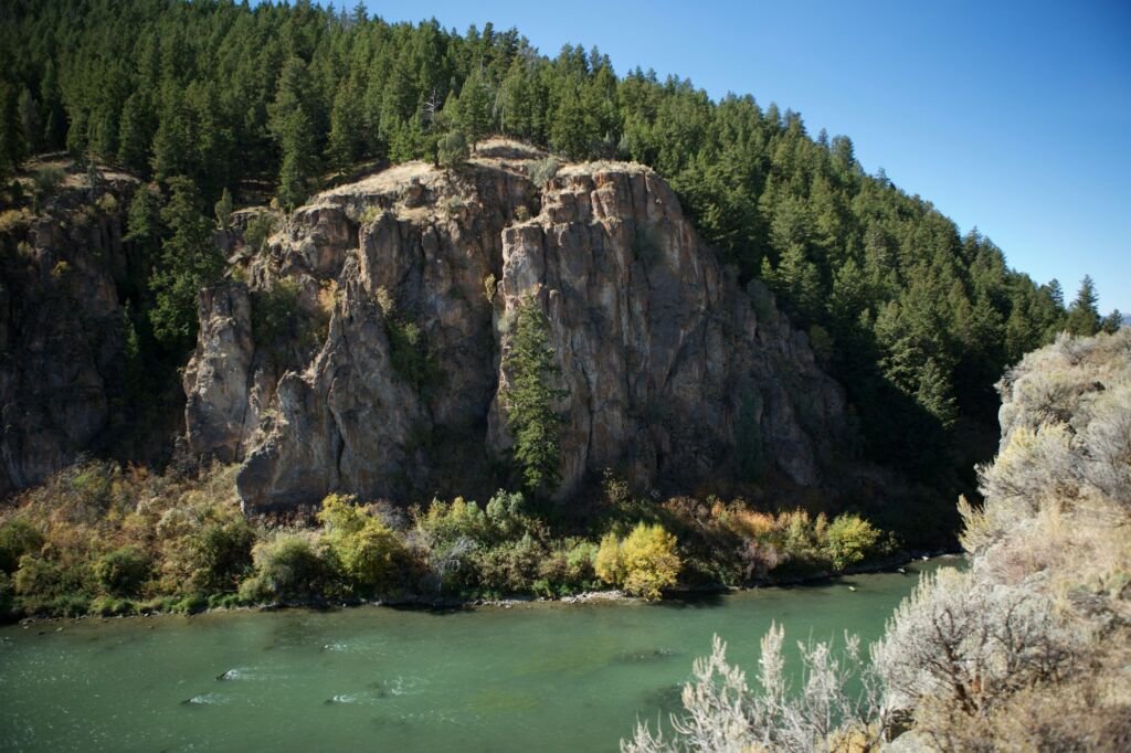
Here the river cuts a deep, rough gorge through a transition zone. North-facing slopes keep firs and pines, while south-facing slopes turn to juniper and oak. The river holds its own genetically distinct population of redband rainbow trout.
Keeps Mill Campground is closed. As of November 2026, the Forest lists Keeps Mill, the small campground just west of the wilderness on Forest Road 2120, as closed for heavy vandalism until repairs are made. Road 2120 is very rough, and the Forest recommends high-clearance vehicles only.
With no maintained trails or signed entry points, every trip here is cross-country. Bring a detailed map and solid navigation skills.
Keeps Mill sits on Forest Road 2120, reached from Pine Grove by Highway 216 through a short stretch of the Warm Springs Indian Reservation.
The White River falls under ODFW's Central Zone fishing regulations, so read them before you cast.
The steep, broken terrain keeps visitors few. Plan a careful route and tell someone where you are going.
Do
Don't
No. The Forest Service says the Lower White River Wilderness has no maintained trails and no formal access points. Visitors travel cross-country through very rugged terrain, so a good map and strong navigation skills are essential.
The closest developed site is Keeps Mill Campground, which sits on Forest Road 2120 beside the Wild and Scenic White River, a short way west of the Lower White River Wilderness boundary. From Pine Grove, drive west on Highway 216 and then north on Road 2120. The road is very rough and best for high-clearance vehicles, and as of November 2026 the campground is closed for vandalism repairs.
Two agencies. Of its roughly 2,870 acres, Mt. Hood National Forest manages 1,747 and the Bureau of Land Management's Prineville District manages 1,124, according to Wilderness Connect. Congress designated the Lower White River Wilderness in 2009.
Yes, under Oregon rules. The White River in the Lower White River Wilderness holds a genetically distinct population of redband rainbow trout, and ODFW's Central Zone regulations apply. Read the current rules before you fish.
Rules change. These pages are the source of truth.